Download
3D Preview
Add to list
More
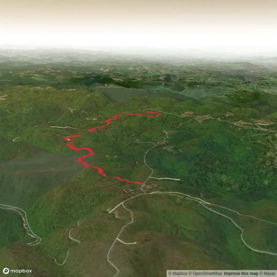
9.4 km
~1 hrs 58 min
56 m
Point-to-Point
“A vibrant hike plan awaits—share your trailhead, and I’ll paint the full route with care.”
I’m missing a few key pieces needed to write this accurately (especially the start location). Right now, “Hike head: near” and “Hike type:” are blank, and there are no coordinates to convert into a nearby address/landmark.
Send one of the following and I’ll produce the full hike description (with distances in km + miles, elevation in m + ft, landmarks, wildlife, hazards, history, and how to get there by car or public transport, plus HiiKER navigation notes):
1) Trailhead coordinates (lat, lon), or
2) A HiiKER link, or
3) The nearest town/park/state/province (e.g., “near Cranberry Ridge, ___ County, ___”), or
4) A map screenshot that shows the start point.
Also confirm: - Loop, out-and-back, or point-to-point (or tell me which you prefer for ~9 km / ~5.6 mi) - Any constraints: dogs allowed, stroller-friendly, winter use, etc. (optional)
Once you provide the trailhead location (or link), I’ll convert it to the nearest known address or significant landmark and build the complete plan.

Comments and Reviews
User comments, reviews and discussions about the Cranberry Ridge Trail, West Virginia.
average rating out of 5
0 rating(s)