Download
3D Flyover
Add to list
More
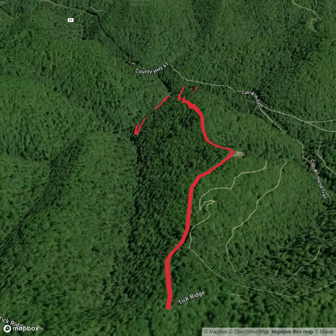
2.3 km
~27 min
7 m
Point-to-Point
“Slip into Breckenridge’s spruce-shadowed calm beside murmuring creek bends—easygoing, if conditions cooperate.”
Expect a short, low-effort out-and-back stroll (about 2 km / 1.2 mi total) on a mostly gentle grade with ~0 m / 0 ft of climbing—ideal if you want a quick leg-stretcher, a dog walk, or a “between bigger hikes” outing. Because “Spruce Creek Trail” is a shared name in multiple states, the most commonly mapped “Spruce Creek Trailhead” is the one south of Breckenridge, Colorado on Spruce Creek Road / County Road 800 in the White River National Forest. Trailhead signage and mapping commonly reference Spruce Creek Road and the Mohawk Lakes corridor. (wanderlog.com)
Getting to the trailhead (car + public transport)
By car: Navigate to the Spruce Creek Trailhead parking area on Spruce Creek Rd / County Road 800, Breckenridge, CO 80424 (often shown simply as “Spruce Creek Trailhead” on map apps). From central Breckenridge you’ll head south toward the Blue River area, then turn onto Spruce Creek Road (CR 800) and follow it to the signed parking pullout/trailhead boards. Note that this road is commonly described as unpaved/rough, and conditions can vary with weather; drive slowly and expect potholes and rocks. (wanderlog.com)
By public transport: Breckenridge has local transit options within town, but getting all the way to the Spruce Creek Road trailhead without a car is not always straightforward. A practical approach is to use transit to reach south Breckenridge / Blue River area and then plan on a rideshare/taxi for the last stretch to the trailhead (cell coverage can be inconsistent once you’re on forest roads). Check your route in HiiKER before you go so you know exactly where the trail begins relative to the road and parking. (wanderlog.com)
On the trail: what the first kilometer feels like
From the parking area, you’ll typically start on a clear singletrack that quickly puts you into subalpine forest. With such a short distance and minimal elevation change, the hike is more about creekside scenery and forest atmosphere than big viewpoints.
- 0.0–0.5 km (0.0–0.3 mi): Easy walking as you leave the trailhead area behind. Watch for trail/road confusion—in places, people accidentally continue up the rough road instead of taking the actual trail. Use HiiKER to confirm you’re on the footpath. (wanderlog.com)
- 0.5–1.0 km (0.3–0.6 mi): The route tends to settle into a calm rhythm through conifers with intermittent openings. You’ll often hear Spruce Creek before you see it, depending on the exact alignment you choose for your 2 km outing.
Because you’re planning ~2 km / 1.2 mi total, most hikers will simply turn around at a convenient landmark (a nice creek bend, a small clearing, or where the trail character changes).
Landmarks, nature, and wildlife to look for
This area sits in Colorado’s high country forest zone, where you can expect a mix of spruce-fir and lodgepole pine habitat typical of the White River National Forest around Breckenridge. (fdrd.org)
Wildlife is always seasonal and luck-dependent, but in this kind of corridor it’s common to be alert for: - Moose in wetter willow/creek bottoms (give them a very wide berth) - Mule deer - Small mammals (pine squirrels, chipmunks) - Birdlife in the canopy and near water
Stay especially aware near the creek: slick rocks, undercut banks, and muddy edges can turn an “easy” walk into a fall hazard.
Navigation, surfaces, and what to pack for an easy 2 km
Even on a short hike, conditions can change quickly at Breckenridge elevations: - Footing: packed dirt with roots/rocks; after rain, expect slick patches. - Weather: fast-moving storms are common in the mountains—bring a light shell even for a short outing. - Navigation: download the route in HiiKER ahead of time; don’t rely on cell service once you’re off the highway.

Surfaces
Ground
Unknown
Comments and Reviews
User comments, reviews and discussions about the Spruce Creek Trail, West Virginia.
average rating out of 5
0 rating(s)