Download
3D Flyover
Add to list
More
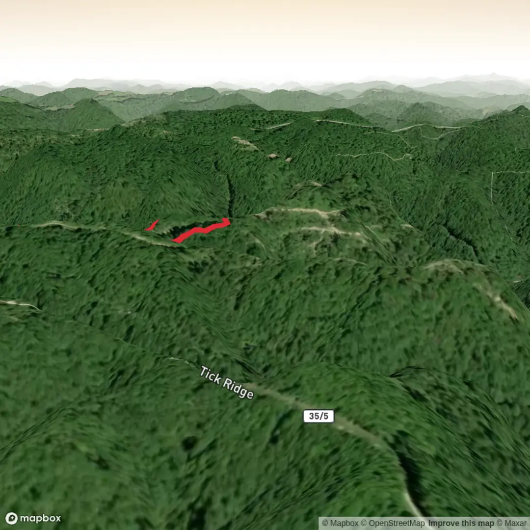
3.0 km
~47 min
117 m
Out and Back
“Share a pin, and we’ll paint the right Indian Trail with vivid turns, hazards, and local stories.”
I’m missing a few key specifics to describe the right “Indian Trail” and to convert the start point to a nearby address/landmark. There are many trails with that name, and a 3 km / ~100 m (1.9 mi / ~330 ft) “Indian Trail” exists in multiple places.
Send one of the following and I’ll write the full hike description exactly in the format you asked for:
1) Start location (preferred): a latitude/longitude pair for the trailhead (or a Google Maps pin link), or
2) Where “near” is: the town/park/state (e.g., “near Asheville, NC” or “near Banff, AB”), plus any nearby feature name (lake, campground, road), or
3) A map screenshot of the route with the trailhead visible.
Also confirm these two items so I match your plan:
- Hike type: out-and-back, loop, or point-to-point?
- Any constraints: dogs allowed? stroller? winter conditions? (optional)
Once I have the location, I’ll:
- Identify the nearest known address or significant landmark to the trailhead (from your lon/lat).
- Give turn-by-turn expectations over ~3 km / 1.9 mi with ~100 m / 330 ft gain, including surfaces, steep bits, and where people commonly go wrong (with HiiKER for navigation references).
- Call out landmarks, wildlife, hazards, and seasonal notes, plus any local historical/cultural context relevant to the area.
- Include how to get there by car and public transport based on the actual trailhead.

Surfaces
Ground
Unknown
Comments and Reviews
User comments, reviews and discussions about the Indian Trail, West Virginia.
average rating out of 5
0 rating(s)