Download
3D Flyover
Add to list
More
4.2 km
~1 hrs 20 min
295 m
Out and Back
“A short, steep push through shady woods to breezy viewpoints—rewarding, but demanding careful footing.”
I’m missing a few key specifics to make this accurate (especially because “Copley Trail” exists in multiple places), and you left the hike head as “near …” and the hike type blank. If you share either a lon/lat, a link, the park/region, or the nearest town, I can convert the coordinates to the nearest landmark/address and tailor the route description, access, and hazards precisely.
In the meantime, here’s a planning-grade description for a ~4 km / ~2.5 mi hike with ~300 m / ~985 ft of gain that’s rated Difficult—the kind of outing this usually is, what to expect, and what to watch for. Once you confirm the location, I’ll swap in the exact trailhead landmark/address, transit options, and any site-specific history/wildlife.
You’re looking at a short distance with a lot of vertical—expect a sustained climb where the steepness, footing, and pacing matter more than mileage. 300 m over 4 km averages ~7.5%, but hikes like this rarely climb evenly; it often comes in steeper pitches (10–20%+) with brief breathers. Plan on it feeling more like a “hill workout” than a casual walk.
Getting to the start (what you’ll typically do)
By car: Most trailheads for steep 4 km routes are reached via a small parking pullout or a compact lot near a park entrance, residential edge, or forest road. Arrive early if it’s near a town or viewpoint—limited parking is common. If the last approach is on a narrow road, expect tight shoulders and be ready to yield to oncoming traffic.
By public transport: If the trailhead is near a community, the usual pattern is: - Take regional rail/bus to the nearest town center, then - A local bus or rideshare to the closest park entrance/road end, then - A short road walk (often 0.5–2.0 km / 0.3–1.2 mi) to the actual trail start.
For navigation, download the route on HiiKER before you go—steep, short trails often have multiple side paths (viewpoints, shortcuts, old access tracks) that can be confusing when you’re tired on the descent.
What the hike feels like underfoot
On a difficult, steep 4 km route, the “difficulty” usually comes from a combination of:
- Loose surfaces (gravel, decomposed rock, dry duff over hardpack) that slide on the way down
- Rooty or rocky steps that demand attention, especially if damp
- Narrow tread on side slopes where a slip could mean a tumble
- Short, punchy climbs that spike heart rate quickly
If it’s in a forested area, expect the climb to start sheltered (cooler, less wind), then open up near ridgelines or viewpoints where exposure increases.
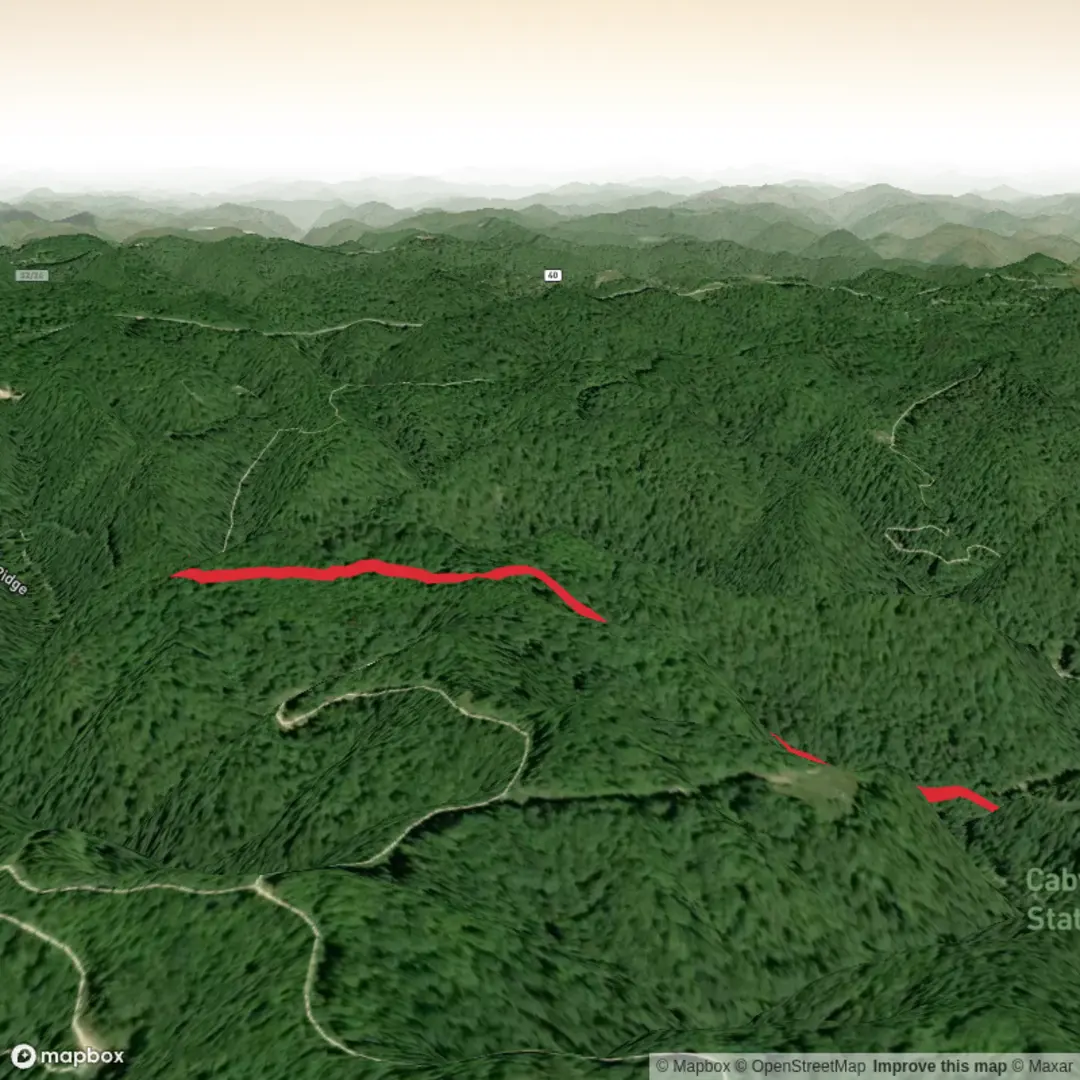
Landmarks and natural features you’ll likely encounter
Because the route is short and steep, it often targets a payoff: a ridge, lookout, summit knob, or prominent viewpoint.
- Lower section (first ~1 km / 0.6 mi): Commonly a shaded approach through mixed woodland or second-growth forest. You may pass drainage dips or small seasonal creeks—these can be muddy after rain and slick with leaves.
- Middle climb (next ~1.5–2 km / 0.9–1.2 mi): The steepest work is usually here. Look for natural “staircases” of rock, root lattices, or eroded gullies. If there are switchbacks, stay on them—cutting corners accelerates erosion and makes the trail worse for everyone.
- Upper section (final ~1 km / 0.6 mi): Often more open, windier, and rockier. This is where you’re most likely to get views, pass a rocky outcrop, or reach a high point. If there’s a viewpoint, it may be near a cliff edge—keep a buffer, especially in wet or icy conditions.
Wildlife and seasonal considerations (what to look out for)
Without the exact region I can’t name the specific species confidently, but on steep, wooded-to-open terrain in North America you should plan for:
- Ticks in brushy edges and grassy openings (spring through fall). Long socks, permethrin-treated clothing, and a post-hike check help a lot.
- Snakes sunning on warm rock (in warmer months). Step onto rocks/logs rather than over them when visibility is limited.
- Larger mammals (deer, coyotes; in some regions black bear or mountain lion). Make noise in low-visibility sections and keep food secured.
- Bird activity increases near edges (where forest meets open slope). Dawn and early morning are best for sightings.
Weather shifts matter more than distance here: a 4 km hike can still become serious if wind, rain, or ice hits the upper exposed section.
Hazards and “Difficult” factors to plan for
- Downhill is the crux: Many hikers feel fine going up and then get punished on the descent. Trekking poles can help with knee load and traction.
- Wet rock/roots: After rain, shaded sections can stay slick for days. Treat every root like it’s polished.
- Erosion channels: On steep grades, water cuts grooves that can catch toes on the way down.
- Exposure near viewpoints: If the trail ends at an outcrop, expect sudden drop-offs and gusts. Keep packs zipped and secure loose items.
Timing, pacing, and what

Surfaces
Ground
Unknown
Comments and Reviews
User comments, reviews and discussions about the Copley Trail, West Virginia.
average rating out of 5
0 rating(s)