Download
3D Flyover
Add to list
More
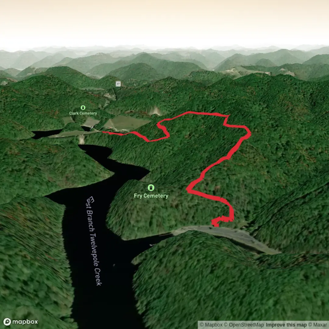
4.7 km
~1 hrs 1 min
54 m
Out and Back
“A gentle, rolling out-and-back with dam-side views, shoreline birdsong, and practical caution for changing conditions.”
A short, easy out-and-back style walk of about 5 km (3.1 mi) with roughly 100 m (328 ft) of climbing typically means gently rolling terrain with one or two slightly steeper pitches rather than any sustained ascent. Plan for 1.5–2.5 hours at a relaxed pace with time for stops, photos, and any shoreline/structure viewpoints you may find along the way.
Because the start is listed only as “near” and no coordinates were included, I can’t reliably convert a lon/lat to the nearest address or landmark yet. If you paste the start lon/lat (and ideally the end/route line or a GPX), I’ll pin it to the closest known trailhead/road access point and tailor the directions, landmarks, and hazards to the exact location.
Getting to the start (car + public transport)
By car: Most “Army Corps of Engineers” trailheads in the U.S. are associated with reservoirs, dams, flood-control channels, or managed recreation areas. Expect access via a signed recreation entrance road off a state highway/county road, then a day-use parking lot near a boat ramp, picnic area, visitor kiosk, or dam overlook. Bring a payment method in case there’s a day-use fee and arrive earlier on weekends—these areas can fill quickly in fair weather.
By public transport: Corps-managed recreation areas are often outside city cores, so public transit can be limited. A common workable plan is: - Take transit to the nearest town center or park-and-ride on the closest major corridor. - Use a rideshare/taxi for the last few miles to the recreation entrance/parking area. If you share the coordinates, I can identify the nearest transit stop and give a realistic last-mile plan.
What the route feels like underfoot
On an easy 5 km (3.1 mi) route with ~100 m (328 ft) gain, you’ll usually see: - Wide, compacted paths (gravel, packed dirt, or mowed service roads) near dams and day-use areas. - Narrower singletrack once you leave the picnic/boat-ramp zone, sometimes with short sandy or rocky stretches depending on region. - Gentle grades most of the way, with the climbing often concentrated in a short rise to a viewpoint, a dam crest, or a bluff above the water.
If the trail parallels a reservoir or river, the “ups and downs” often come from small drainages cutting toward the shoreline—short dips and climbs that add up to the total elevation gain without ever feeling strenuous.
Landmarks you’re likely to encounter
Corps properties tend to have a few signature features. Depending on the exact site, look for: - Dam infrastructure: spillway channels, outlet works, intake towers, or a dam crest road. These can be impressive engineering landmarks and often provide the best open views. - Shoreline viewpoints: coves, fishing access points, riprap (large angular rock armoring), and occasional small beaches. - Interpretive signage: many sites have panels explaining flood control, water supply, hydropower (where applicable), and local ecology.
If your route crosses or follows a maintenance road, it’s usually there for dam operations and emergency access—stay alert for authorized vehicles even if the area feels quiet.
Nature, habitat, and wildlife (what to watch for)
Without the exact state/region, the best preparation is to expect a classic reservoir-edge mix of habitats: - Open water + edge vegetation: reeds/cattails in sheltered coves; brushy margins that attract songbirds. - Upland patches: grasses, scrub, or mixed woodland depending on climate and elevation. - Birdlife: waterfowl, herons/egrets, and raptors that patrol shorelines and thermals above open water. - Mammals: deer are common in many regions; smaller mammals (rabbits, squirrels) near picnic areas.
Practical cautions that come up frequently around Corps lakes and rivers: - Ticks and biting insects: especially in warm months and in brushy edges—use repellent and do a post-hike check. - Snakes: they often bask on warm gravel or rocks; give any snake space and step carefully where sightlines are blocked. - Poison ivy/oak/sumac: common along disturbed edges and sunny margins—avoid brushing against glossy three-leaf clusters. - Sudden weather exposure: dam crests and shorelines can be windy and sun-exposed; bring sun protection and a light layer even on mild days.
Navigation and on-trail decision points
Even on easy routes, Corps properties can have multiple intersecting paths: campground spurs, boat-ramp connectors, service roads, and shoreline tracks. Use HiiKER to: - Confirm you’re on the intended loop/out-and-back. - Identify junctions where a tempting shoreline path can dead-end at private inholdings, steep banks, or dense vegetation. - Track distance so you can turn around at roughly 2.5 km (1.55 mi) for a 5 km (3.1 mi) total if it’s an out-and-back.
Safety and regulations that commonly apply
Many Corps recreation areas share a similar rule set: - Stay out of restricted zones near spillways, outlet structures, fenced areas, and posted slopes. - Leash requirements are common in day-use areas. - Seasonal closures can occur for maintenance, high water, or storm damage. - Water-level changes: shorelines can be muddy, undercut, or slippery when levels fluctuate—use caution on steep

Comments and Reviews
User comments, reviews and discussions about the Army Corps of Engineers, West Virginia.
average rating out of 5
0 rating(s)