Download
3D Flyover
Add to list
More
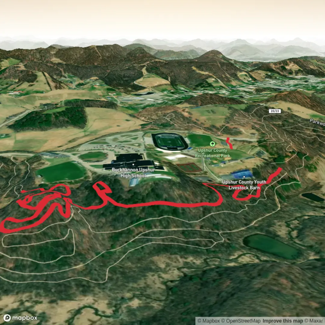
4.4 km
~57 min
42 m
Out and Back
“Share the trailhead details, and I’ll paint a planning-ready route narrative with local colour.”
I’m missing a few key specifics to make this accurate (especially the start location). Please paste either the trail’s latitude/longitude for the trailhead or a HiiKER link, and if you have it, the nearest town/park name. If you share a static map, I can use it for context.
Once I have that, I’ll write a full planning-ready description including: - Exact start point converted to the nearest known address or landmark - Driving approach + public transport options to the trailhead - A step-by-step route narrative for ~4 km (2.5 mi) with ~0 m (0 ft) gain (or corrected if the data shows otherwise) - Key landmarks, typical terrain, and what to watch for (mud, tides, exposure, insects, etc.) - Likely flora/fauna and any seasonal considerations - Historical/cultural context of the area (based on the confirmed region) - Navigation notes using HiiKER only
Send the trailhead lon/lat (e.g., -123.12345, 49.12345) and I’ll produce the finished hike description immediately.

Surfaces
Unknown
Asphalt
Comments and Reviews
User comments, reviews and discussions about the Witch's Finger Trail, West Virginia.
average rating out of 5
0 rating(s)