Download
3D Flyover
Add to list
More
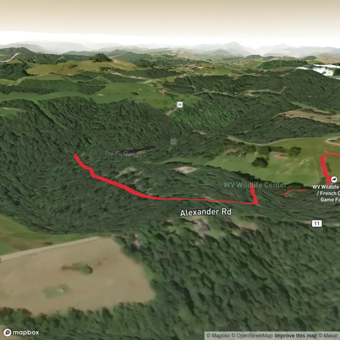
2.2 km
~25 min
0 m
Loop
“A gentle, mostly level exhibit-style wander on firm paths, rich with signs, viewpoints, and wildlife pauses.”
A short, mostly level stroll of about 2 km (1.2 mi) with essentially 0 m (0 ft) of climbing, this is the kind of walk that suits families, casual walkers, and anyone looking for an accessible loop/there-and-back that focuses more on points of interest than on elevation or endurance. Expect firm, well-maintained surfaces typical of a “main exhibit” style trail—often compacted gravel, pavement, or boardwalk—where the pace is set by how often you stop to read signs, look into enclosures/displays, or take in viewpoints.
Getting to the trailhead (car + public transport)
You’ve listed the hike head as “near” but didn’t include coordinates or a town/park name, so I can’t reliably convert a lon/lat to the nearest address or landmark yet. If you share either:
- a lon/lat pair, or
- the park/site name + city/state,
I’ll pin the closest practical start point (parking lot/entrance gate) and describe the most straightforward approach.
In the meantime, here’s what typically applies to a short exhibit-style trailhead: - By car: Look for the site’s main visitor parking (often signed as “Main Entrance,” “Visitor Center,” or “Day Use”). Arrive earlier on weekends—these places can bottleneck at the entrance even when the trail itself feels quiet. - By public transport: Many exhibit/interpretive sites are reachable via a bus stop near the main entrance road or a town stop plus a short rideshare. If you tell me the nearest town, I can outline the most realistic transit approach and the final walking segment.
What the walk feels like underfoot
With negligible elevation change, the main “effort” comes from: - Surface transitions: pavement to packed gravel, occasional boardwalk sections, and short ramps. - Crowd flow: this kind of trail often has pinch points at popular displays, narrow bridges, or interpretive kiosks. - Frequent stops: plan your timing around lingering at exhibits rather than moving continuously.
If you’re using a navigation app, load the route in HiiKER and keep an eye on any short spurs—exhibit trails sometimes have optional side loops that add a few hundred meters without changing the overall difficulty.
Landmarks and points of interest you’ll likely encounter
On a ~2 km (1.2 mi) “main exhibit” route, the highlights are usually spaced so you’re never far from something to see: - 0.0–0.4 km (0.0–0.25 mi): Entry zone—orientation signage, rules (often about staying on path), and the first interpretive panels. This is where you’ll confirm whether the route is a loop or an out-and-back. - 0.4–1.0 km (0.25–0.6 mi): The densest cluster of displays—look for viewing platforms, fenced areas, or themed stations (geology, local ecology, cultural history). - 1.0–2.0 km (0.6–1.2 mi): The “back half” often feels quieter, with longer stretches between stops and a more natural corridor—good for spotting birds and noticing plant communities.
If you provide the location, I can call out the specific signature landmarks (historic structures, notable trees, water features, overlooks, or exhibit themes) and where they fall along the distance.
Nature and wildlife: what to look for (and what to watch out for)
Even easy, developed trails can be surprisingly lively—especially around edges where landscaped areas meet native habitat.
Common wildlife patterns on exhibit-style trails - Birds: songbirds near shrubs and edges; waterfowl if there’s a pond/stream component; raptors overhead in open areas. - Small mammals: squirrels, rabbits, chipmunks—often habituated to people. Keep food secured; don’t feed wildlife. - Reptiles/amphibians (seasonal): sunny path edges can attract lizards or snakes; damp corners near water can hold frogs.
Practical cautions - Ticks and mosquitoes: even on manicured paths, brushy margins can hold ticks. Long socks or repellent help, especially in warm months. - Poison ivy/oak: common along fence lines and trail edges—avoid brushing against glossy three-leaf clusters. - Heat and sun exposure: flat trails can still be hot if they’re open and reflective (pavement/boardwalk). Bring water even for 2 km. - Shared-use traffic: some exhibit trails allow strollers, mobility devices, and sometimes bikes—stay alert at blind corners.
Planning: time, gear, and accessibility
- Time needed: Most hikers cover 2 km (1.2 mi) in 25–45 minutes of walking time, but with exhibits it often becomes 45–90 minutes depending on how much you stop.
- Footwear: comfortable walking shoes are usually enough; choose something with decent grip if boardwalks can be damp.
- Water: at least a small bottle; more if it’s warm or if you’re walking with kids.
- Accessibility: with ~0 m (0 ft) gain, this route is often suitable for many mobility levels, but accessibility depends on surface type, curb cuts, and gate widths—share the location and I’ll flag likely barriers (stairs, narrow bollards, steep ramps, soft sand/gravel).
Historical significance (location-dependent)
“Main Exhibit Trail” names are used in many places (nature centers, heritage sites, zoos, botanical gardens, interpretive reserves). The historical context

Comments and Reviews
User comments, reviews and discussions about the Main Exhibit Trail, West Virginia.
average rating out of 5
0 rating(s)