
Download
3D Flyover
Add to list
More
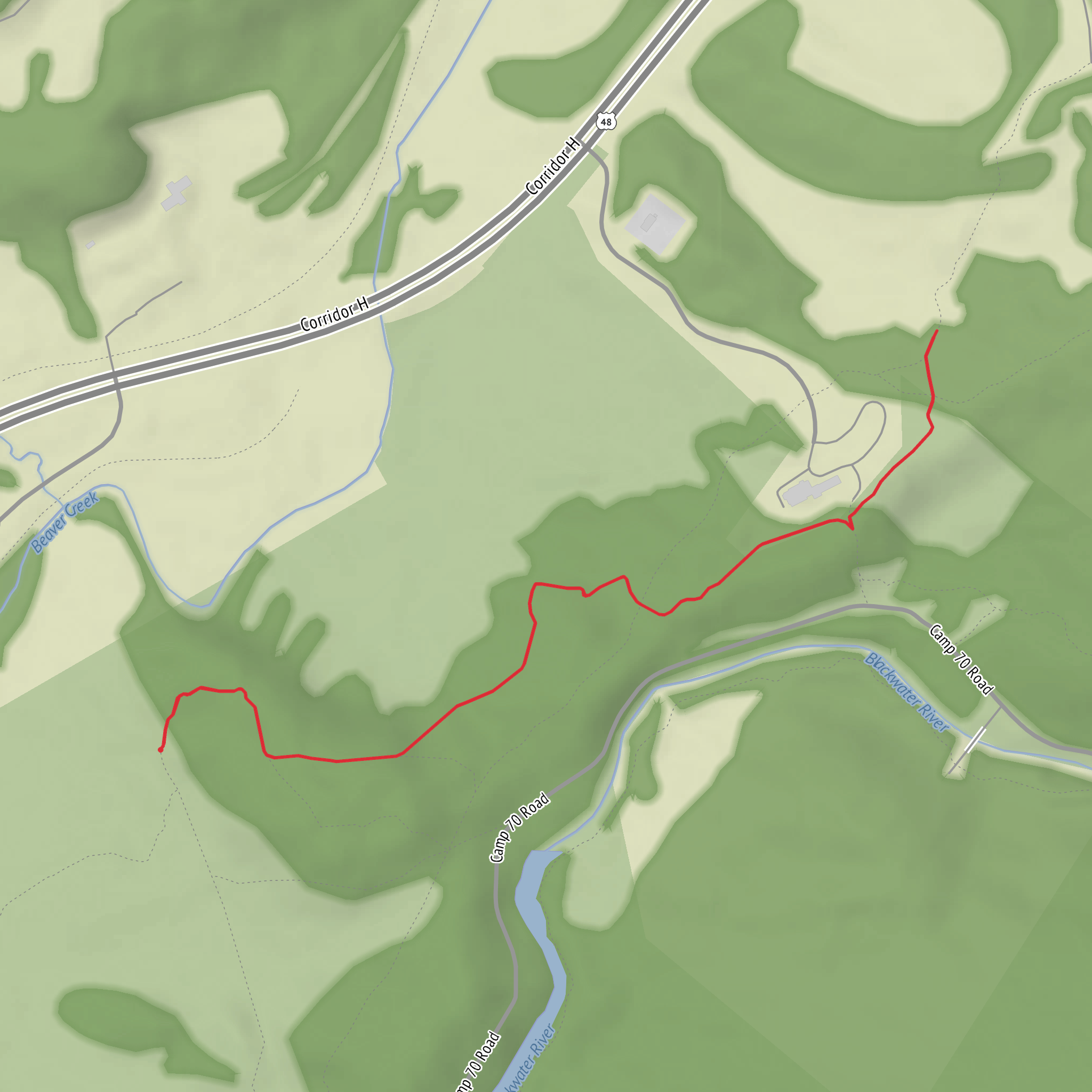
4.1 km
~52 min
30 m
Out and Back
“Chasing the Rock Shocks Trail begins with one missing spark—your trailhead—so the journey can truly unfold.”
I’m missing one key piece of information to make this accurate: the start location (“Hike head: near …”) and any coordinates you meant to include. “Rock Shocks Trail” isn’t unique enough on its own, and without a lon/lat (or at least a town/park/state), I can’t reliably convert the location to a nearest address/landmark, describe the correct terrain, or give realistic transport directions.
Send either:
- Coordinates for the trailhead (preferred): lat, lon (example: 34.0119, -116.1669), or
- The nearest place name you have (park/trailhead/road/city/state), plus country.
If you also know any of these, include them and I’ll tailor the plan tightly: - Loop or out-and-back (hike type) - Surface (paved path, dirt, boardwalk, sand, etc.) - Any map link or GPX (I’ll reference navigation via HiiKER in the write-up)
Once you send the trailhead location, I’ll provide: - How to get there by car and public transport - A step-by-step route description with approx. distances in km/miles - What to expect for footing, accessibility, and easy-route pacing - Key landmarks, habitat, likely wildlife, and seasonal considerations - Any relevant historical context for the specific area
Surfaces
Unknown
Ground
Comments and Reviews
User comments, reviews and discussions about the Rock Shocks Trail, West Virginia.
average rating out of 5
0 rating(s)
