Download
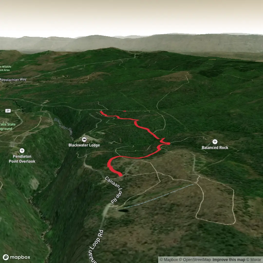
3D Flyover
Add to list
More
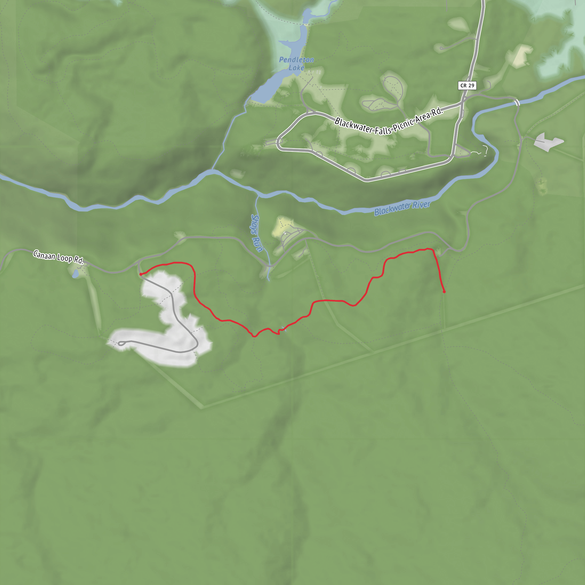
2.8 km
~37 min
35 m
Point-to-Point
“Share the trailhead, and I’ll paint a grounded Red Spruce walk—rich habitat, clear directions, no overclaims.”
To write this properly (and convert the start lon/lat to the nearest real-world address/landmark), I’m missing a few key details about which “Red Spruce Trail” you mean—there are multiple trails with that name in different regions.
Send any one of the following and I’ll produce the full hike description exactly in the style you requested:
1) Start location (preferred):
- Latitude, Longitude of the trailhead (even approximate), or
- A HiiKER link, or
- The park/forest name + nearest town/state
2) If you have them:
- Hike type (loop, out-and-back, point-to-point)
- Any map screenshot / GPX / route notes you want me to follow
Once you share the trailhead location, I’ll include: - driving + public transport approach to the start, - distances in km + miles and elevation in m + ft, - what the terrain is like for an easy ~3 km / ~1.9 mi, near-flat walk, - notable landmarks, ecology (including red spruce habitat), wildlife, and any local historical context, - and navigation guidance referencing HiiKER only.
Surfaces
Dirt
Comments and Reviews
User comments, reviews and discussions about the Red Spruce Trail, West Virginia.
average rating out of 5
0 rating(s)
