Download
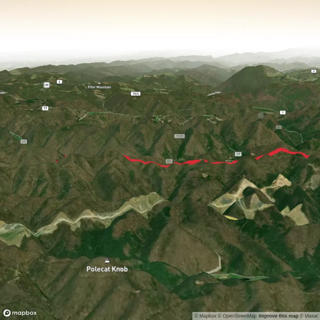
3D Flyover
Add to list
More
13.9 km
~3 hrs 35 min
491 m
Out and Back
“Before Pheasant Mountain’s promise unfolds, share the trailhead—so plans stay grounded and safe.”
I’m missing a few key pieces of information needed to make this accurate and safe to plan from—especially the start location. Right now the “Hike head: near” field is blank, and I don’t have any coordinates or a map to anchor where “Pheasant Mountain Trail” is (there are multiple places with that name).
Send one of the following and I’ll write the full, detailed hike description (14 km / ~8.7 mi, ~500 m / ~1,640 ft gain, Medium) with landmarks, wildlife, hazards, history, and exact “how to get there” directions:
1) Trailhead coordinates (lon/lat) (example format: -121.12345, 44.12345)
2) A HiiKER link to the route
3) The nearest town/park/forest + state/province + country (e.g., “near X, Colorado, USA”)
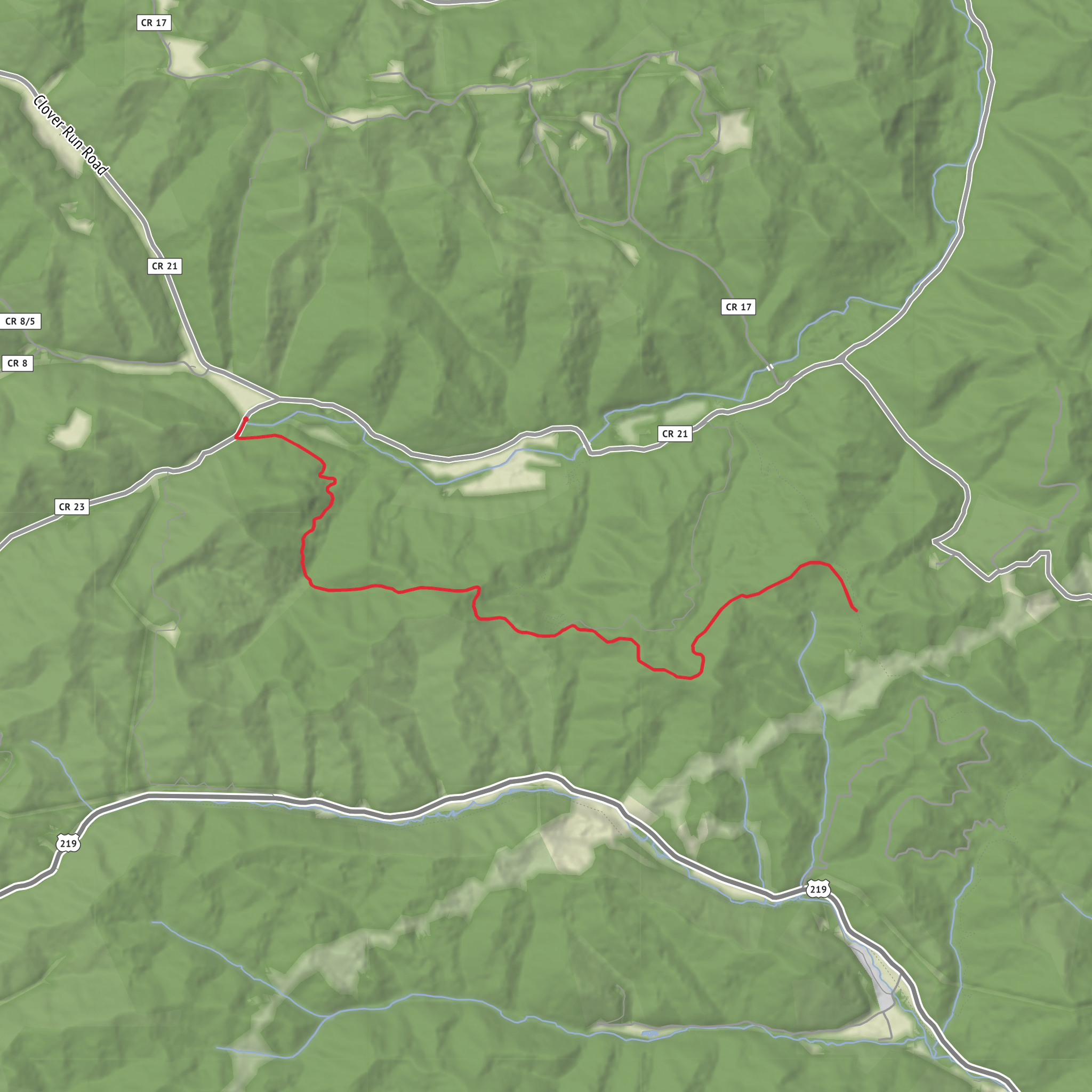
4) A static map image of the route (I’ll use it for context)
Also tell me (if you know):
- Hike type: loop / out-and-back / point-to-point
- Any constraints: season, snow, dogs allowed, camping, permits, road access (2WD/4WD)
Once you provide the trailhead location, I’ll: - Convert the lon/lat to the nearest known address or significant landmark - Give car + public transport options to the start - Break the hike into logical segments with approx. distances and elevation in km/mi and m/ft - Note navigation tips using HiiKER only, plus common wrong turns and what to watch for
Comments and Reviews
User comments, reviews and discussions about the Pheasant Mountain Trail, West Virginia.
average rating out of 5
0 rating(s)
