Download
3D Flyover
Add to list
More
7.3 km
~1 hrs 55 min
284 m
Out and Back
“A steady, shaded climb through spruce and slick leaves, earning brief valley views for patient hikers.”
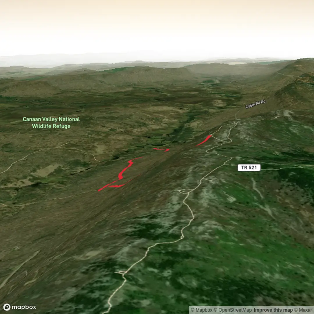
This is a steady, forested climb from the east side of Canaan Valley up onto Cabin Mountain, with a “work for it” feel rather than any technical difficulty. At roughly 7 km / 4.3 mi round trip with about 300 m / ~985 ft of gain, it’s a solid half-day outing that rewards patient pacing—especially on damp days when the mountain’s soils and leaf litter can get slick.
Getting to the trailhead (car + public transport reality check)
By car: The most reliable reference point for reaching the correct area is Canaan Valley National Wildlife Refuge (NWR) near Davis, West Virginia. The Cabin Mountain route commonly starts from the parking area at the end (terminus) of A‑Frame Road inside/adjacent to the refuge. (onxmaps.com)
- For navigation, plug the refuge visitor area into your GPS first, then follow local signage/roads toward A‑Frame Road and continue to its end where the parking is. (Road names and access can change seasonally; confirm the exact start point in HiiKER before you drive.)
By public transport: There isn’t practical, frequent public transit that drops you at the A‑Frame Road trailhead. The closest “transit-like” option is typically getting to the Davis/Thomas area via regional connections, then using a taxi/rideshare (often limited) to reach the refuge roads. Plan as if you’ll need a car, especially outside peak weekends.
What the hike feels like underfoot
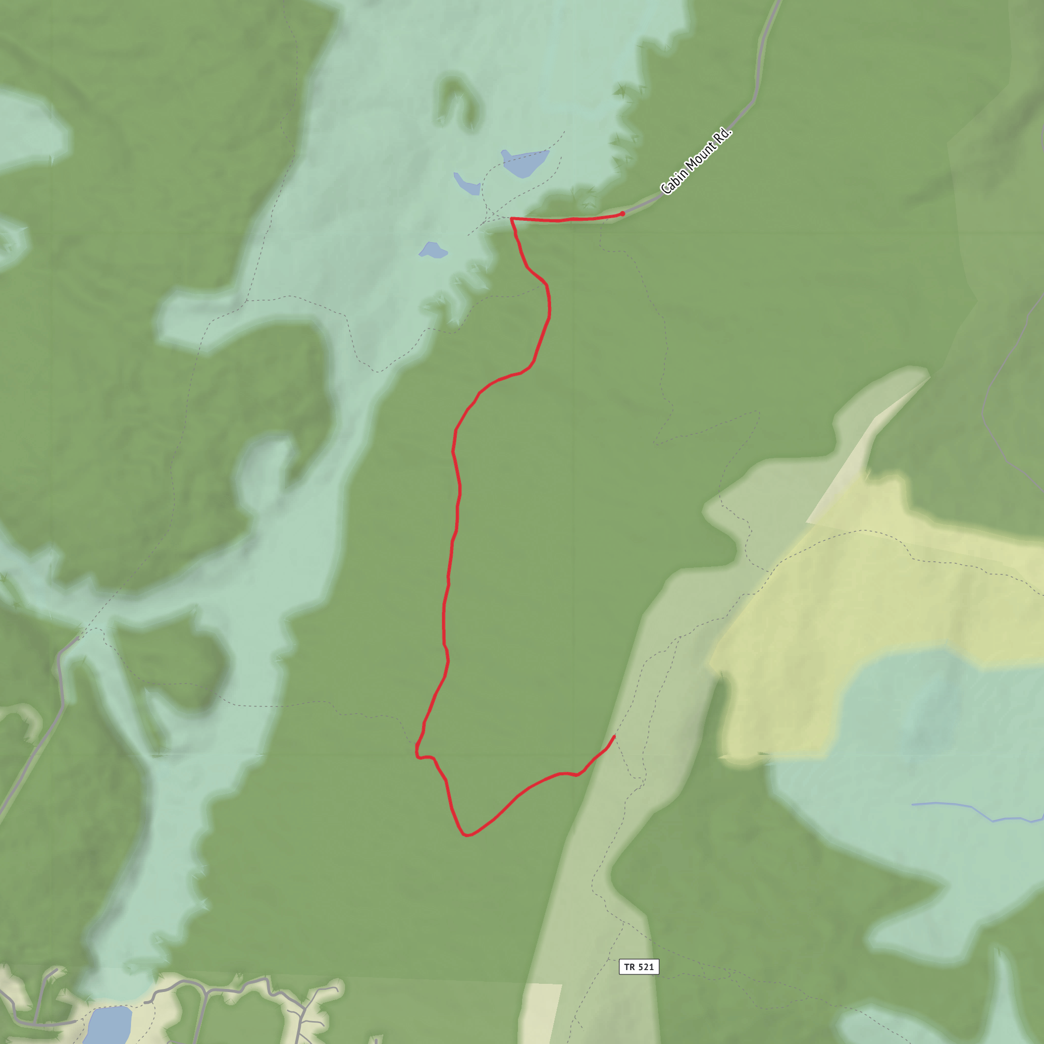
From the A‑Frame Road end parking, the trail begins in a mixed high-elevation Appalachian forest—expect a cool, shaded start with a soft tread of needles/leaves and occasional roots. The grade settles into a consistent climb up the northwest side of Cabin Mountain, so you’ll feel the elevation gain add up gradually rather than in one brutal pitch. (onxmaps.com)
Because this is a mountain rising directly from a valley wetland complex, conditions can swing quickly: - After rain or during snowmelt: muddy stretches and slick leaves are common; traction matters. - In shoulder seasons: lingering ice can hide in shaded pockets even when the valley feels mild.
Landmarks, views, and where the “payoff” tends to be
As you gain height, the forest composition often shifts toward red spruce–hardwood mix typical of the high Alleghenies, and the air can feel noticeably cooler than down in the valley. Openings are intermittent rather than constant; when you do get them, they tend to frame the broad bowl of Canaan Valley below.
The route is described as ending at/near the eastern boundary of Canaan Valley National Wildlife Refuge, which is a useful mental waypoint: you’re essentially climbing from the refuge’s valley-side access up toward the mountain’s higher ground and boundary line. (onxmaps.com)
Use HiiKER to watch for any short spurs or junctions near the upper portion—these are the spots where people most often overshoot a turnaround or miss the best viewpoint.
Nature and wildlife to look out for
Canaan Valley and the surrounding refuge lands are managed specifically for habitat diversity—wetlands, forest, and edge habitat—so wildlife sightings are a real possibility even on a short hike. In the broader refuge/valley area, species commonly noted include white-tailed deer, and less commonly black bear and bobcat, along with a strong mix of forest birds; beaver activity is also a defining ecological force in the valley wetlands. (en.wikipedia.org)
On the mountain trail itself, the most realistic encounters are: - Deer moving quietly through the understory (especially early/late). - Songbirds and woodpeckers in the spruce/hardwood mix. - Bear sign (scat/turned logs) more often than a bear sighting—still, carry food securely and give any animal space.
Difficulty, pacing, and what to pack
“Medium” is a fair rating: the distance is modest, but the ~300 m / ~985 ft gain is enough to
Surfaces
Unknown
Ground
Unpaved
Comments and Reviews
User comments, reviews and discussions about the Cabin Mountain Trail, West Virginia.
average rating out of 5
0 rating(s)
