Download
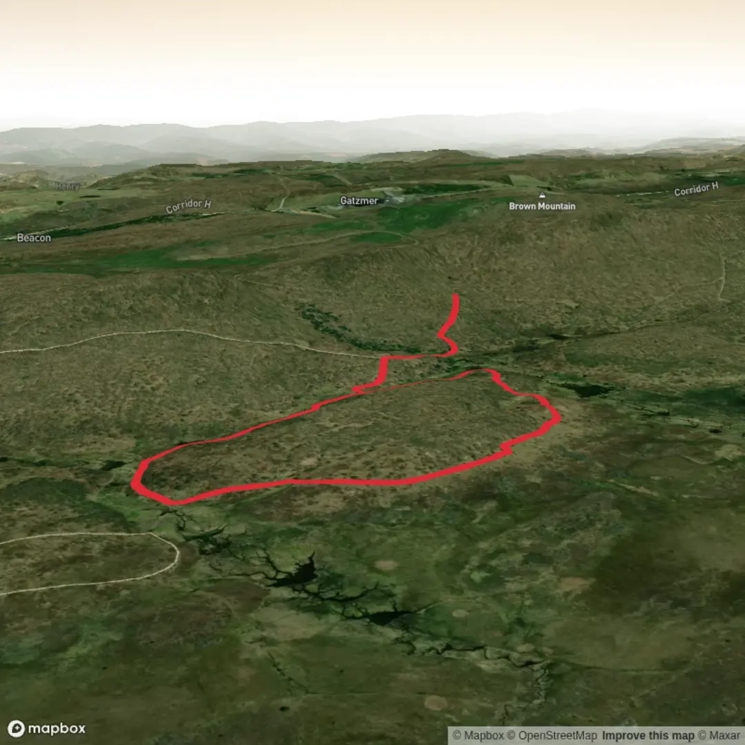
3D Flyover
Add to list
More
5.6 km
~1 hrs 12 min
58 m
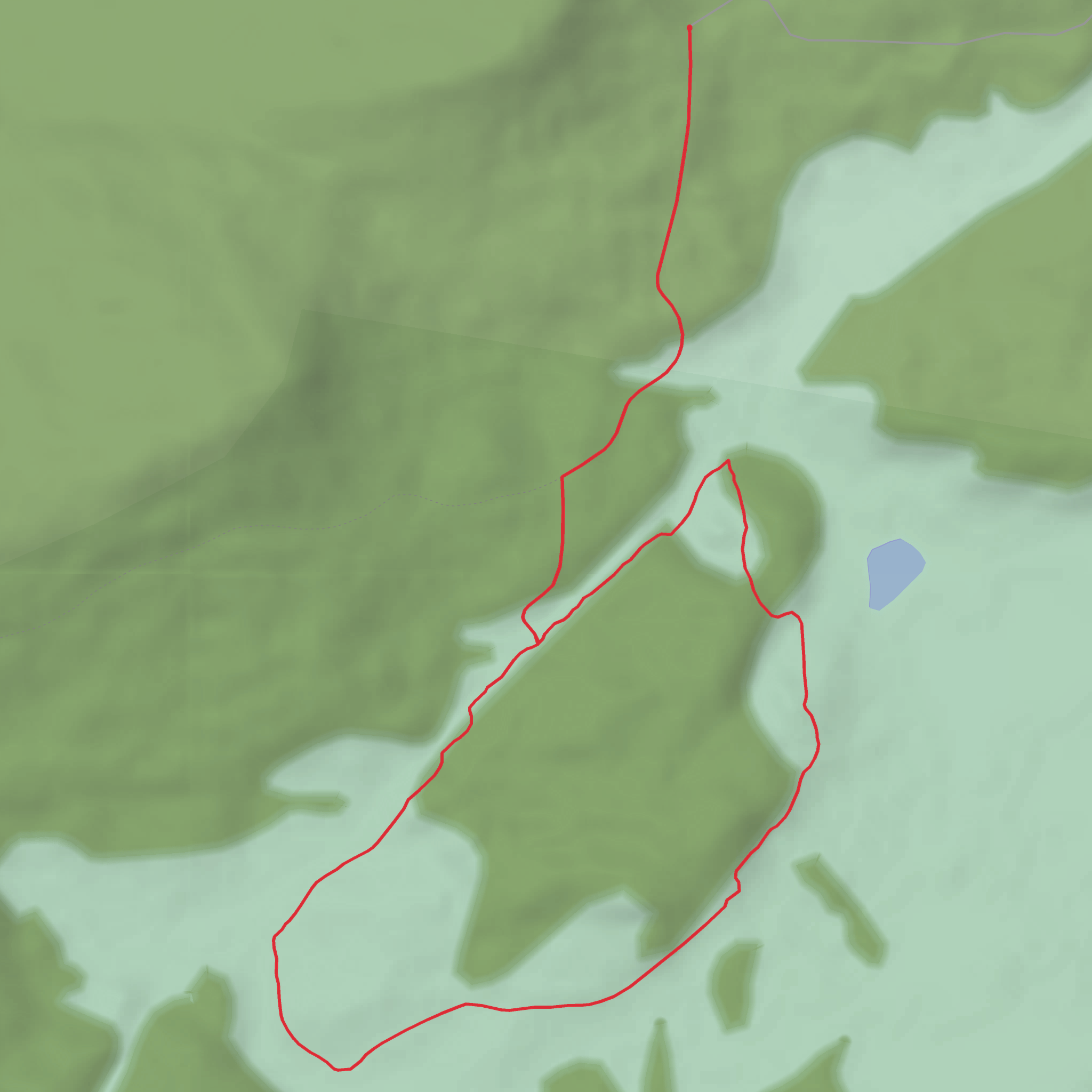
Loop
“A colourful call for a little more trailhead clarity before Brown Mountain’s overlook story can shine.”
I’m missing a few key specifics needed to write this accurately (there are multiple “Brown Mountain” areas and multiple “Overlook” trails, including in the U.S.), and you left the “Hike head: near …” line incomplete. If I guess the location, I could give you the wrong access road, trailhead parking, landmarks, and historical context.
Send one of the following and I’ll produce the full hike description exactly in the style you requested (with km + miles, and metres + feet, plus wildlife/landmarks/history, and car + public transport directions, and converting lon/lat to the nearest known address/landmark):
1) Trailhead coordinates (lon/lat) (or a HiiKER link), or
2) The state/province + nearest town/park/forest (e.g., “near Morganton, NC” or “near Shaver Lake, CA”), plus any trailhead name shown on the sign.
Also tell me: - Hike type: out-and-back, loop, or point-to-point (if you don’t know, say “unknown” and I’ll infer once I have the location). - Any constraints you care about: kid-friendly, dog-friendly, stroller, sunrise/sunset, avoid steep/rocky, etc.
Once you provide the location, I’ll: - Identify the nearest recognized address/landmark for the trailhead (from your coordinates), - Describe the route in segments with approximate distances/elevation (≈6 km / 3.7 mi, ≈100 m / 328 ft total gain, adjusted to the actual trail profile), - Call out surface, grade, typical mud/ice/wind exposure, and common wrong turns (with HiiKER-referenced navigation tips), - Include notable viewpoints/overlooks, seasonal highlights, and local history relevant to that specific Brown Mountain area.
Comments and Reviews
User comments, reviews and discussions about the Brown Mountain Overlook Trail, West Virginia.
average rating out of 5
0 rating(s)
