Download
Preview
Add to list
More
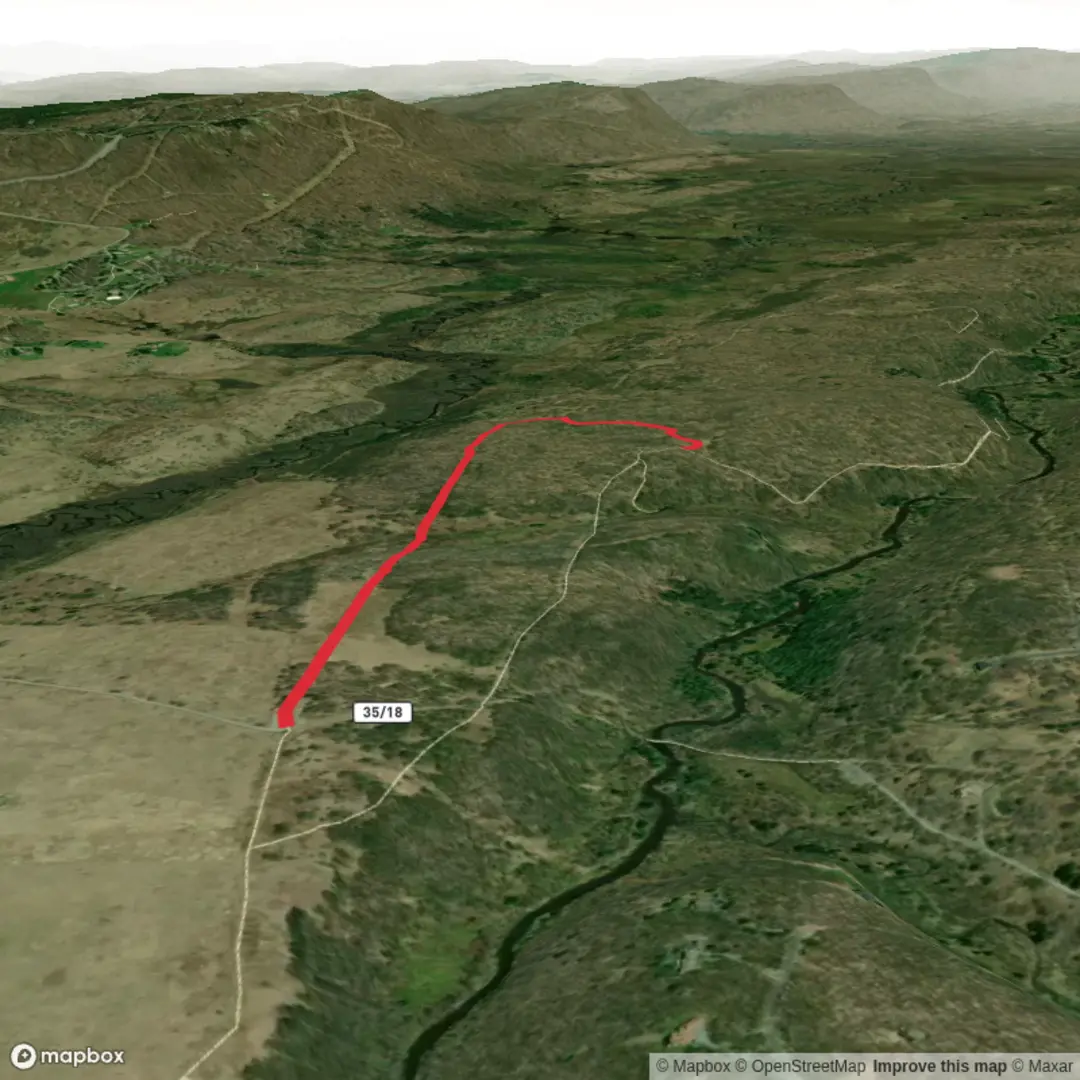
3.7 km
~46 min
13 m
Out and Back
“A gentle, mostly level stroll where sun, wind, and soggy patches paint the day’s mood.”
A short, low-effort walk of about 4 km (2.5 mi) with essentially 0 m (0 ft) of climbing, this route is best planned as a relaxed out-and-back or small loop (depending on how the local paths connect). With an Easy effort profile and minimal elevation change, the main things that shape the day are usually surface conditions (pavement vs. gravel vs. grass), exposure to sun/wind, and any wet or muddy patches after rain.
Because the start location is listed only as “near” and no coordinates were provided, I can’t convert a lon/lat to a nearby address or landmark yet. If you share the trailhead coordinates (or a pin/link), I’ll translate them into the nearest known address or prominent landmark and tailor the directions and on-the-ground cues precisely.
Getting to the trailhead (car + public transport)
By car: Plan to arrive with enough time to find legal parking close to the access point—on easy, flat walks like this, the most common “surprise” is simply that the closest curb space is restricted (permit-only, time-limited, or no-parking near gates). If the route begins near a park, school, utility corridor, or neighborhood greenway, look for signed public lots first, then overflow to legal street parking.
By public transport: For a 4 km (2.5 mi) easy walk, it’s often practical to use a bus/train stop within 0.5–1.5 km (0.3–0.9 mi) of the start and treat that as part of your warm-up. Once you provide the trailhead location (city/region or coordinates), I can suggest the most sensible transit approach and the safest walking line from the stop to the start.
What the walk is like underfoot
With negligible elevation gain, expect a steady, conversational pace throughout. The route is likely to be one of these common “easy flat” types:
- Paved multi-use path / greenway: Smooth footing, stroller-friendly, but watch for cyclists and faster runners—especially on blind corners.
- Gravel or compacted dirt track: Usually comfortable in trail runners; after rain, low spots can hold water and turn slick.
- Grass or field-edge path: Can be uneven and dewy; ticks are more of a concern in warm months.
- Utility or access road: Wide and straightforward navigation, but can be exposed to sun and wind.
Even on flat terrain, bring footwear with decent tread—mud and wet leaves can be the main slip hazard when there’s no climbing to slow people down.
Navigation and staying on route
For a short route like this, navigation is typically simple, but it’s still worth having the track loaded in HiiKER so you can: - confirm you’re on the intended line when paths braid or intersect, - spot short connectors that turn an out-and-back into a loop, - avoid accidentally stepping onto private drives or restricted service roads.
If the area has multiple parallel paths, use obvious “handrails” (a fence line, creek, road edge, or treeline) and check HiiKER at junctions rather than walking on assumption.
Landmarks, nature, and wildlife to look for
Without the exact region, the safest way to plan is to expect local parkland/greenbelt ecology and the wildlife that thrives near people:
- Birdlife: Songbirds in shrubs and edges; waterfowl if the route parallels ponds, drainage channels, or wetlands. Early morning is usually most active.
- Small mammals: Squirrels, rabbits, and (in some areas) groundhogs; they’re most visible near open grass and brushy margins.
- Insects and ticks: If the path runs through tall grass or leaf litter, use repellent and do a tick check afterward—especially in spring through fall.
- Snakes: On warm days, they may bask on gravel or pavement edges; give them space and step carefully around sunlit rocks/logs.
If the walk passes near water (even a small creek), expect mosquitoes in still, shaded sections and slightly cooler temperatures along the corridor.
Weather and exposure (what catches people out on “easy” walks)
Flat routes often feel deceptively simple, but exposure can make them uncomfortable: - Sun: If the path is open (fields, levees, utility corridors), bring sun protection and more water than you think you’ll need for 4 km (2.5 mi). - Wind: Open corridors can be breezy; a light layer helps even on mild days. - After rain: Low-lying flats can stay muddy longer than hilly trails because water drains slowly—expect puddles and soft shoulders.
Practical prep (time, water, and gear)
Most hikers cover 4 km (2.5 mi) in roughly 45–75 minutes, depending on stops and surface. For planning: - Water: At least 0.5 L for most conditions; more if it’s hot or exposed. - Footwear: Trail runners or walking shoes with tread; avoid smooth soles if it’s wet. - Clothing: A light layer you can add/remove; flats can feel cooler if windy. - Safety: If this is near roads or shared-use paths, consider bright clothing and stay alert at crossings.
Historical context (how to make this specific)
“Beall” is a name that appears in multiple places (often tied to early settler families, farms, or local land grants), and the historical significance can vary widely by state and county. If you share the trailhead coordinates or the nearest town/park name, I can accurately describe:

Surfaces
Unpaved
Unknown
Gravel
Comments and Reviews
User comments, reviews and discussions about the Beall N, West Virginia.
average rating out of 5
0 rating(s)