Download
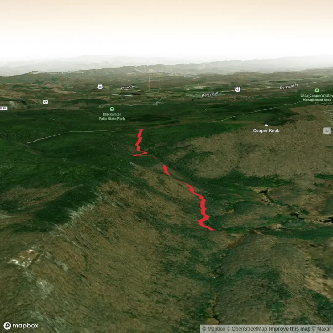
3D Flyover
Add to list
More
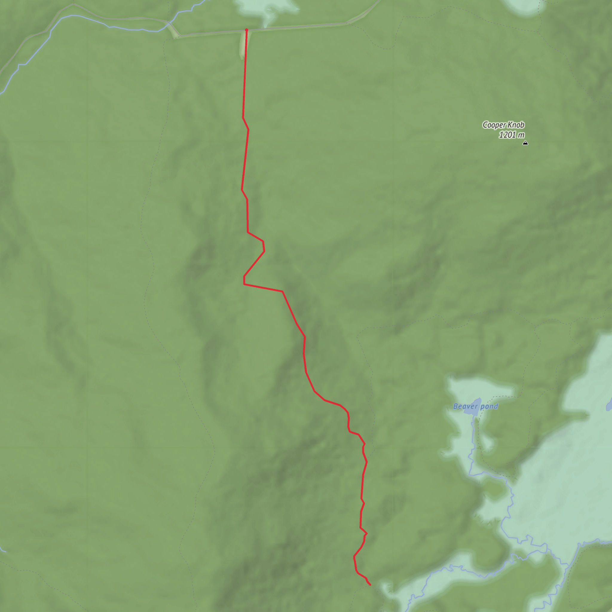
8.1 km
~1 hrs 50 min
124 m
Out and Back
“Share a trailhead pin or link, and I’ll paint you a tailored Allegheny out‑and‑back.”
I’m missing a few key specifics needed to make this accurate (especially the start point). Please paste either the trailhead latitude/longitude (lon/lat) or a HiiKER link, and if you have it, the state/nearest town. Right now “Hike head: near” and “Hike type:” are blank, and “Allegheny Trail” can refer to multiple places across the Allegheny region.
Once you send that, I’ll: - Convert the coordinates to the nearest known address or notable landmark - Describe the out-and-back route for ~8 km / ~5.0 mi with ~100 m / ~328 ft gain - Include turn-by-turn style expectations, key landmarks, terrain, and what to watch for - Add wildlife/nature notes and historical context specific to that exact area - Explain how to reach the trailhead by car and public transport (where feasible)
Send one of these and I’ll write the full hike description immediately:
1) Trailhead coordinates (lat, lon)
2) A HiiKER route link
3) Nearest town + state and any known trailhead name/parking area
Surfaces
Unknown
Unpaved
Gravel
Comments and Reviews
User comments, reviews and discussions about the Allegheny Trail Out and Back, West Virginia.
average rating out of 5
0 rating(s)
