Download
Preview
Add to list
More
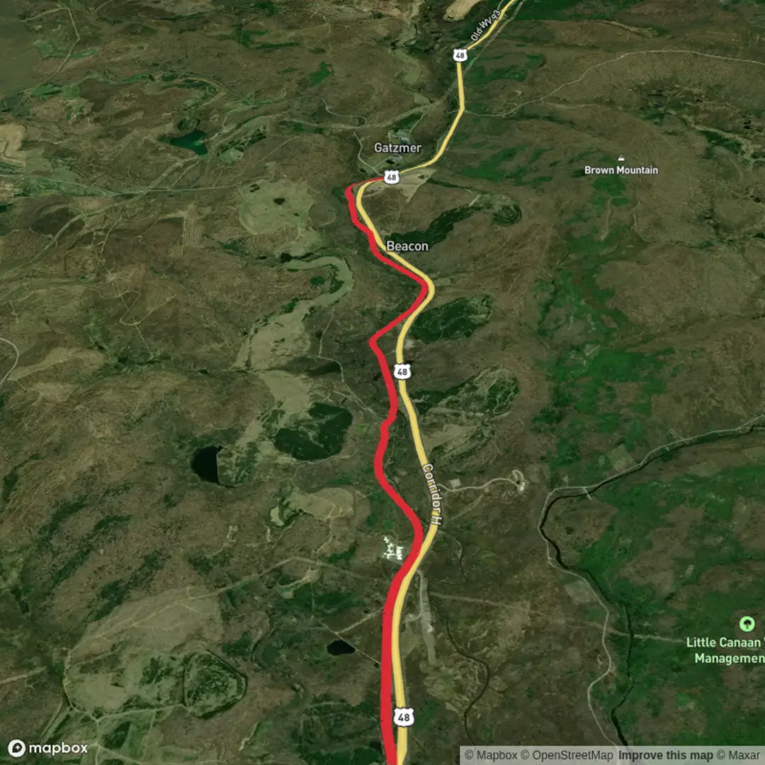
8.6 km
~1 hrs 42 min
0 m
Point-to-Point
“Stroll a mostly level Highlands corridor—gravel to mud—where wind, sun, and history linger.”
A gentle, mostly level outing of about 9 km (5.6 mi) with roughly 0 m (0 ft) of climbing, this route is best planned as an easy, steady-paced walk where your main variables are surface conditions (packed gravel vs. softer or muddy stretches) and weather exposure (open corridor vs. shaded woodland edges). Expect a relaxed rhythm that suits beginners, families, and anyone looking for a low-effort nature walk—just don’t underestimate how much a flat trail can still feel long if it’s windy, hot, or wet.
Getting to the start (car + public transport)
You’ve listed the trailhead only as “near” (no coordinates or town), so I can’t reliably convert the start point to the nearest address/landmark yet. If you share a lon/lat (or even the nearest town/parking area name), I’ll translate it into the closest recognizable address or landmark and tailor directions precisely.
For now, here’s the most practical approach for an “Allegheny Highlands” area trailhead:
- By car: Most trailheads in the Allegheny Highlands region are reached via a small parking pull-off or a dedicated trail lot. Plan for limited services at the start—often no water, no restrooms, and intermittent cell coverage. Arrive with your map loaded in HiiKER and keep an offline copy available.
- By public transport: Public transit is typically sparse in the Highlands. The most workable pattern is:
1) reach the nearest larger town by intercity bus/rail (where available),
2) then use a local taxi/rideshare to the trailhead.
If you tell me the nearest town or provide coordinates, I can suggest the most realistic transit chain and where the last reliable drop-off point is.
What the trail is like underfoot
With essentially no meaningful elevation gain, the experience is defined by grade consistency and surface:
- Surface: Often a mix of crushed stone/gravel, hard-packed dirt, and occasional paved segments depending on the managing agency and nearby road crossings. After rain, low-lying sections can hold water—flat trails don’t drain as quickly, so expect puddles and soft shoulders in places.
- Width & accessibility: Many easy, flat Highlands trails are wide enough for side-by-side walking. If this route follows a rail-trail or multi-use corridor, you may share it with cyclists; keep right, listen for passing calls, and be extra attentive around bends and bridge approaches.
- Exposure: Flat corridors can be surprisingly exposed to sun and wind. Even in cooler months, windchill can be noticeable on open stretches.
Landmarks and points of interest you’re likely to encounter
Without the exact start location, I’ll describe the kinds of features that commonly define an easy, flat 9 km (5.6 mi) Highlands route—once you share the trailhead coordinates, I can anchor these to specific named places and milepoints.
- Water features (creeks, wetlands, or river edges): Flat routes often track waterways or old rail grades built to avoid steep climbs. Look for riparian vegetation (willows, sycamores, alders) and calmer pools that attract birds.
- Bridges and culverts: Expect at least one notable crossing—often a small bridge over a creek or drainage. These can be slick with algae in damp seasons; step carefully, especially in trail runners with worn tread.
- Forest edges and second-growth woodland: Much of the Allegheny Highlands landscape reflects regrowth after historic logging and industrial use. You’ll often see even-aged stands, mixed hardwoods, and occasional conifers planted for stabilization.
Nature and wildlife (what to watch for)
The Allegheny Highlands region supports a classic Appalachian mix of wildlife. On a quiet, easy corridor walk, you’re more likely to notice sign than the animals themselves:
- White-tailed deer: Common at dawn/dusk; watch for sudden crossings, especially near brushy edges.
- Black bear: Present in many Highlands areas. Encounters are uncommon on busier trails, but it’s still smart to carry food in sealed bags and avoid leaving snacks unattended at benches or trailheads.
- Songbirds and raptors: Open corridors can be good for hawks and owls; wetlands and creek edges bring warblers and herons in season.
- Ticks and biting insects: In warmer months, expect ticks in grassy margins and mosquitoes near standing water. Long socks, repellent, and a post-hike tick check are worth it even on “easy” terrain.
Navigation and planning notes (flat doesn’t mean foolproof)
Even on a straightforward route, planning prevents small problems from becoming big ones:
- Use HiiKER to confirm the exact out-and-back or loop shape, identify road crossings, and note any parallel spurs that can look “right” on the ground.
- Turnaround timing: For a 9 km (5.6 mi) hike, many hikers take roughly 2–2.5 hours at an easy pace with stops. If you’re sharing the corridor with bikes, keep stops to the side and remain visible.
- Road crossings: If the trail intersects roads, treat every crossing as a hazard point—some rural crossings have limited sightlines and faster traffic than you’d expect.
Historical context of the region
The Allegheny Highlands are strongly shaped by Appalachian industrial history—especially timber, rail, coal, and iron-era transport corridors. Many of the flattest, easiest trails in the region exist because they follow: - former rail grades engineered for

Surfaces
Unknown
Asphalt
Comments and Reviews
User comments, reviews and discussions about the Allegheny Highlands Trail, West Virginia.
average rating out of 5
0 rating(s)