Download
Preview
Add to list
More
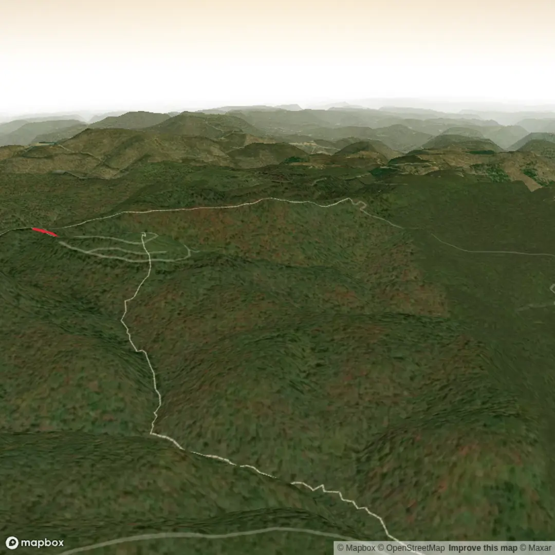
4.7 km
~1 hrs 16 min
199 m
Out and Back
“A colourful hike plan is within reach—share the trailhead and route type to map it safely.”
I’m missing a few key pieces of information needed to make this accurate and safe to plan from—especially the trailhead location (your “Hike head: near” line is blank) and the hike type (loop/out-and-back/point-to-point). “Meatbox Run Trail” is also a name that can exist in more than one place.
Send either of the following and I’ll turn it into a full, detailed hike description with distances/elevation in km + miles and metres + feet, plus access by car/public transport, landmarks, wildlife, and any local history:
1) Trailhead coordinates (lon/lat or lat/lon), and whether it’s a loop or out-and-back
or
2) A HiiKER link to the route
If you have coordinates, paste them like:
- Trailhead: lat, lon
- (Optional) Parking: lat, lon
- (Optional) Any waypoint you care about (lookout, creek crossing, etc.)
Once I have that, I’ll also convert the coordinates to the nearest known address or significant landmark (as requested) and build the description around a ~5 km (≈3.1 mi), ~200 m (≈656 ft) medium hike.

Surfaces
Ground
Unknown
Comments and Reviews
User comments, reviews and discussions about the Meatbox Run Trail, West Virginia.
average rating out of 5
0 rating(s)