
Download
3D Flyover
Add to list
More
4.6 km
~1 hrs 7 min
118 m
Loop
“A rolling Gatewood loop weaves meadow and woods, ending with a quiet Battle Creek overlook.”
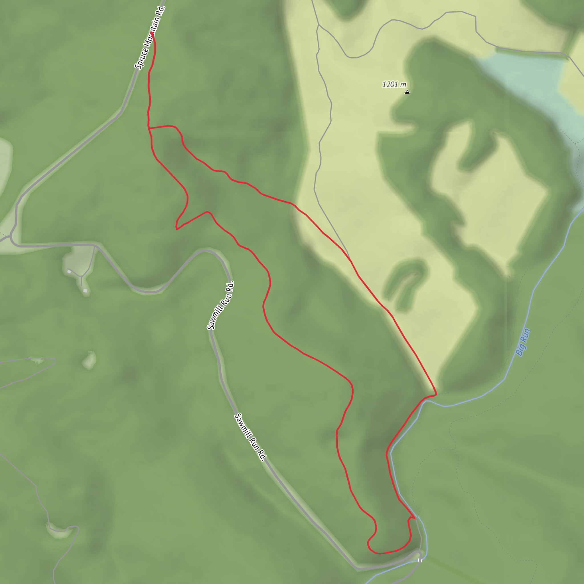
Plan on a roughly 5 km (3.1 mi) loop-style outing with about 100 m (330 ft) of total climbing—enough short ups-and-downs to keep it “Medium,” but not so much that it turns into a grind. The walk sits in Calvert County’s Gatewood Preserve, a mix of old pasture/meadow and woods with a standout waterside viewpoint over Battle Creek, part of the Patuxent River watershed. (calvertcountymd.gov)
Getting to the start (and where “the trailhead” really is)
Nearest known address / landmark for the start: Gatewood Preserve entrance gate, 2880 Grays Road, Prince Frederick, MD 20678. (calvertcountymd.gov)
A key logistics detail here: you park outside the preserve gates and walk in—do not drive past the gate even if it’s open, because you can get locked in. (calvertcountymd.gov)
By car: Put 2880 Grays Road, Prince Frederick, MD 20678 into your GPS. Expect a simple, rural-road arrival rather than a big signed parking lot; arrive early on pleasant weekends since parking is limited to the area outside the gate. (calvertcountymd.gov)
By public transport: Calvert County is car-oriented, and service can be limited depending on day/time. If you’re trying to do this without a car, the most reliable approach is typically a bus/taxi/rideshare combination into Prince Frederick, then a rideshare the last miles to Grays Road (and back). Before you commit, check current local transit options and schedules for Prince Frederick on the day you plan to hike.
What the route feels like (km/miles + where the climbing happens)
From the gate, you’ll ease into the preserve on broad, easy walking—often the kind of surface you can handle in trail runners unless it’s been wet. The first 0.5–1.0 km (0.3–0.6 mi) is usually about settling into the landscape: open edges, early woodland, and the sense that you’re moving through a property that’s actively managed for conservation and low-impact recreation. The preserve is largely former field/pasture being restored toward grassland and meadow habitat, so you’ll notice wide sky views and “edge habitat” where meadow meets forest. (calvertcountymd.gov)
Most of the ~100 m (330 ft) of gain tends to come in short, rolling rises rather than one sustained climb—small crests as you transition between meadow margins, forested sections, and the approach toward the creek overlook area.
For navigation, load the route in HiiKER before you arrive and keep an eye on junctions where color-coded trails split; it’s easy to drift onto a spur if you’re chatting or wildlife-watching.
Landmarks you shouldn’t miss: meadow edges, woods, and the Battle Creek overlook
The preserve’s trail network includes named segments (shown on the official map) such as Forest Loop, Meadow Trail, and a route leading to the Battle Creek pier/overlook area. (calvertcountymd.gov)
A good way to think about the hike is in three “scenes”:
- Meadow perimeter walking (often the most open, breezy section): Expect birdsong, butterflies in season, and long sightlines. This is also where sun exposure can be highest—bring water even though the distance is modest.
- Wooded stretches (cooler, more sheltered): These sections can hold moisture longer after rain; watch for slick leaves, roots, and muddy patches in low spots.
- Battle Creek viewpoint / pier area (the signature payoff): The preserve has direct access to Battle Creek and is known for scenic views over an undeveloped waterway. (calvertcountymd.gov)
If you’re timing your day, the creek overlook is a great place for a longer pause—just remember you’re still in
Surfaces
Ground
Unknown
Gravel
Comments and Reviews
User comments, reviews and discussions about the Gatewood Nature Trail, West Virginia.
average rating out of 5
0 rating(s)
