Download
Preview
Add to list
More
1.8 km
~31 min
91 m
Loop
“A lively creekside loop stitches leafy paths to millstone echoes, with short climbs that can slicken after rain.”
This short, punchy loop links two wooded streamside paths with a quick climb and a couple of standout historic features, packing a lot into roughly 2 km (1.2 mi) with about 100 m (330 ft) of total ascent. Expect a mix of packed dirt, leaf litter, and a few rockier, rooty stretches—easy to follow in fair weather, but it can feel “medium” after rain when the creek edges get slick.
Getting to the trailhead (car + public transport)
Because the start location is listed only as “near” (no coordinates or place name provided), I can’t reliably convert it to a nearest address or landmark yet. If you share a lon/lat, a parking pin, or even the nearest town/park name, I’ll translate it into the closest recognizable address/landmark and tailor directions precisely.
For now, here’s the practical approach most hikers use for trailheads like this: - By car: Look for the nearest signed access/parking associated with Beckley Mill (often posted as a historic mill site/park access). Arrive early on weekends—small lots fill quickly. - By public transport: If there’s a nearby town center, aim for the closest bus stop to the mill/historic site, then plan on a short walk (often 0.5–2.0 km / 0.3–1.2 mi) to the trail access. Use HiiKER to confirm the safest walking route along roads/shoulders to the trailhead.
What the hike feels like underfoot
You’ll typically start on a gentle grade through mixed woodland, with the sound of running water nearby. The first few hundred meters are usually the easiest: a narrow singletrack or old footpath corridor that stays close to the drainage. As you transition between Mill Branch Trail and Beckley Mill Trail, the tread often tightens and becomes more textured—roots, small embedded rocks, and short muddy pockets where water crosses the path.
The ~100 m (330 ft) of gain is usually delivered in one or two short climbs rather than a long grind. On a 2 km outing, that means you’ll notice the uphill: it’s the kind of climb where you slow down, step carefully, and watch for slick leaves on hardpack.
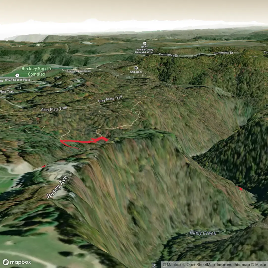
Landmarks, scenery, and the “why this place matters”
The defining feature here is the mill-and-branch landscape: a small watershed (Mill Branch) feeding a historic milling area (Beckley Mill). Even when the mill structure itself isn’t the centerpiece of the route, the terrain tells the story—watercourse, low ravines, and the kind of steady flow that historically made milling viable.
Look out for: - Stream crossings / wet spots: Often simple step-overs or narrow crossings, but after rain they can widen and undercut the trail edge. - Old stonework or mill-related remnants: Depending on the exact alignment, you may see stone foundations, stacked rock, or old retaining walls that hint at historic water management and site access. - Riparian woodland: Expect moisture-loving plants near the creek—ferns, mosses, and dense understory in the shadier pockets.
Historically, mill sites like Beckley Mill were community anchors—processing grain and supporting local settlement patterns. Trails in these corridors often follow practical routes that once connected work areas, water control features, and access lanes.
Wildlife and seasonal notes
In a wooded creek corridor, wildlife sightings are often subtle rather than dramatic: - Birdlife: Songbirds in the canopy; woodpeckers are common in mature stands. Early morning is best. - Mammals: Deer sign is typical; small mammals (squirrels, chipmunks) are active along the edges. - Amphibians: In wetter months, watch for salamanders/frogs near seeps and muddy margins—step carefully to avoid harming them.
Seasonal considerations: - Spring: Highest chance of muddy tread and active creek flow; also the best time for fresh green understory. - Summer: Humidity and insects increase near water—bring repellent and consider long sleeves. - Fall: Leaf cover can hide roots and slick clay; traction matters more than you’d expect on a short hike. - Winter: Shaded creekside sections can hold ice longer than open ground.
Navigation and safety (what to watch for)
Even on a short 2 km (1.2 mi) hike, the most common issues are wrong turns at junctions and slips near water. - Use HiiKER to confirm the correct junction between Mill Branch Trail and Beckley Mill Trail, and to verify whether you’re doing a loop or an out-and-back. - Stay alert for trail braids (informal side paths) near scenic creek spots—these can pull you off-route. - After rain, assume mud + slick roots on any shaded incline; take shorter steps and use trekking poles if you have them.
Practical prep for a “medium” 2 km hike
- Footwear: Trail shoes with decent tread are usually enough; go for boots if it’s wet or you prefer ankle support.
- Time: Many hikers take 45–90 minutes depending on stops at the mill/creek and how slick the climbs are.
- Water: A small bottle is fine, but bring more in summer heat.
- Clothing: Layers for shaded creek sections; a light rain shell if conditions are changeable.
If you send the lon/lat (or a link/pin) for “Hike head: near …”, I’ll convert it to the nearest known address/landmark

Surfaces
Dirt
Unknown
Unpaved
Comments and Reviews
User comments, reviews and discussions about the Mill Branch Trail and Beckley Mill Trail, West Virginia.
average rating out of 5
0 rating(s)