Download
3D Flyover
Add to list
More
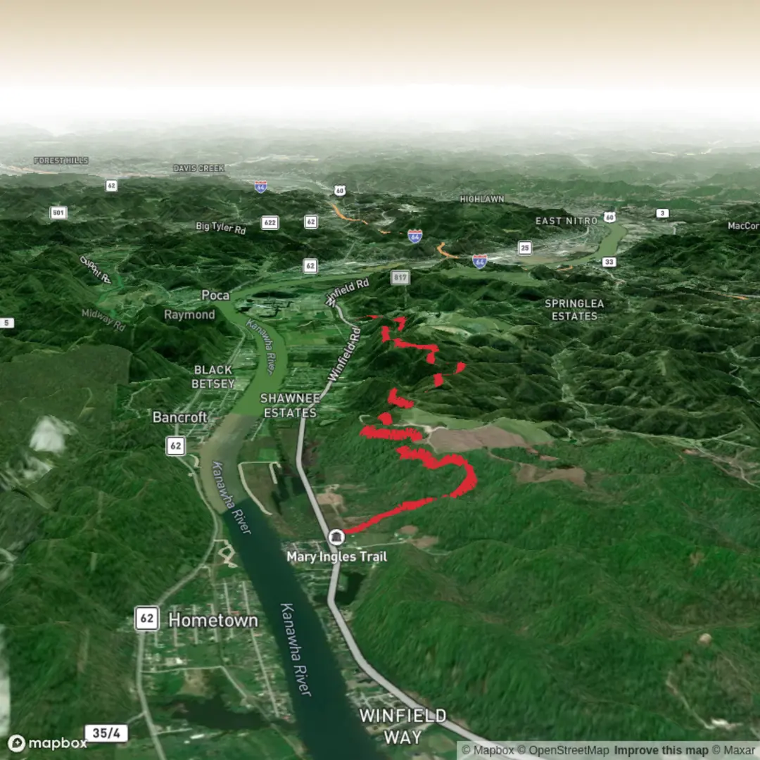
9.2 km
~1 hrs 54 min
40 m
Point-to-Point
“Drift beside the New River through woods and town edges, where sunshine, mud, and history mingle.”
A mostly flat, easy-going out-and-back of about 9 km (5.6 mi) with ~0 m / ~0 ft of climbing, this walk follows the New River corridor through a landscape that blends riverside woods, open greenway-style stretches, and small-town edges. It’s well-suited to beginners, families, and anyone looking for a low-effort history-and-nature stroll—just plan for sun exposure in open sections and occasional wet/muddy patches after rain.
Getting to the trailhead (car + public transport)
Because your start location is listed only as “near,” the best way to pin down the exact trailhead is to open the route in HiiKER and use the start-point marker to confirm the closest parking area or access point. Once you share the start coordinates (or a HiiKER link), I can translate them to the nearest known address/landmark precisely.
In general, the Mary Draper Ingles Trail is associated with the New River Valley of southwest Virginia, and common access points tend to be near town parks/river access areas rather than remote mountain trailheads.
- By car: Expect a short approach on local roads to a riverside park, greenway entrance, or signed trail access. Typical amenities at these access points include a small parking lot, kiosk/signage, and sometimes restrooms (not guaranteed). Arrive earlier on weekends if the access is shared with a park or boat launch.
- By public transport: Public transit in the New River Valley is limited and often hub-and-spoke. The most workable strategy is usually:
1) take regional service into the nearest town center, then
2) use a local bus (if available) plus a short walk, or a rideshare/taxi to the trail access.
Use the start point in HiiKER to identify the nearest town center and then match it to the closest bus stop.
What the walk is like underfoot
With negligible elevation change, the effort comes less from climbing and more from surface conditions and exposure:
- Surface: commonly a mix of packed dirt, mown path, and/or gravelly greenway tread. After rain, low-lying riverside sections can hold water—expect mud, puddles, and slick leaves in shoulder seasons.
- Width & obstacles: generally wide enough for side-by-side walking in many stretches, narrowing where the corridor pinches near brush or riverbank. Watch for roots and short, eroded edges where the river has undercut the bank.
- Pacing: most hikers will take 2–3 hours round trip at a relaxed pace with stops for views and interpretive points.
Navigation and wayfinding (keep it simple)
This is the kind of route where you can often “follow the corridor,” but riverside networks sometimes have spurs to parks, neighborhoods, or river access points.
- Download the route in HiiKER for offline use before you arrive.
- At junctions, confirm you’re staying on the main corridor rather than drifting onto a park loop or access spur.
- If the trail parallels the river closely, use the river as a handrail—but still verify turns in HiiKER, especially where the path detours around private property edges or floodplain vegetation.
Landmarks, scenery, and what to look for along the way
Even on a flat route, the New River setting keeps things interesting:
- River views and floodplain woods: You’ll likely alternate between open sightlines to the water and shaded stretches under sycamore, cottonwood, and mixed hardwoods. In summer, shade can be patchy—carry water and sun protection.
- Riparian habitat: Look for sand/gravel bars (seasonal), driftwood piles after high water, and dense green growth in warm months. These areas are productive for birdlife.
- Town-edge character: Portions may pass near ballfields, picnic areas, or quiet residential edges—expect occasional dog walkers and cyclists if the tread is greenway-like.
Wildlife and seasonal notes
- Birds: Rivers attract herons, kingfishers, and a variety of songbirds. Early morning is best for activity.
- Mammals: Deer are common; smaller mammals (raccoon, groundhog) are often seen near brushy edges.
- Snakes & ticks: In warm months, watch sunny edges for snakes basking and do tick checks after walking through taller grass.
- Insects: Mosquitoes can be noticeable near still backwaters—bring repellent in late spring through early fall.
Historical significance: Mary Draper Ingles and the New River Valley
The trail’s name points to one of the region’s most enduring frontier-era stories. Mary Draper Ingles is remembered in local history for her connection to the mid-1700s conflicts on the Virginia frontier and for an arduous journey associated with returning through the Appalachian landscape. Walking a riverside corridor here is a good reminder of why waterways mattered: the New River Valley served as a natural travel route, a resource base, and—during periods of conflict—a contested corridor. Depending on the exact segment you’re on, you may encounter interpretive signage or nearby historic markers that tie the landscape to early settlement patterns and frontier travel.
Practical planning: what to pack and what to watch out for
- Footwear: light hikers or trail runners are fine; choose something with grip if rain is likely.
- Water: for an easy 9 km (5.6 mi), 0.5–1 L is usually sufficient in cool weather; bring more in heat/humidity.
- Weather & river conditions: after heavy rain, riverside trails can flood or turn sloppy—if the corridor

Comments and Reviews
User comments, reviews and discussions about the Mary Draper Ingles Trail, West Virginia.
average rating out of 5
0 rating(s)