Download
Preview
Add to list
More
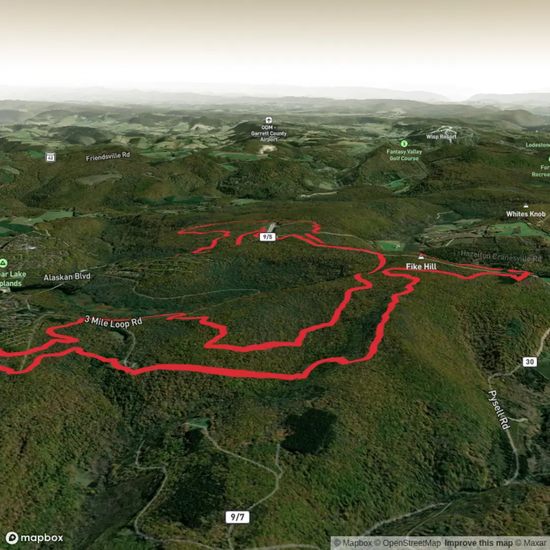
21.0 km
~4 hrs 44 min
324 m
Loop
“A vivid “Race Loop” awaits—share your start details to shape a safe, terrain-true adventure.”
I’m missing a few key pieces of information needed to make this accurate (especially the start location). Please paste either the route GPX/GeoJSON or the start/end coordinates (lon/lat) (and any intermediate waypoints if you have them). Once I have that, I’ll convert the coordinates to the nearest known address/landmark and tailor the description to the correct region, terrain, access, and hazards.
To keep things moving, send any of the following:
1) Start point lon/lat (required)
2) Parking / trailhead lon/lat (if different)
3) Nearest town/state/country (even approximate)
4) Hike type: loop / out-and-back / point-to-point (you left this blank)
5) If you have it: highest point elevation or an elevation profile screenshot
If you don’t have coordinates, tell me what “Race Loop - Moderate” is associated with (park/forest/racecourse name, or a HiiKER link), and I’ll build the full 21 km (13.0 mi), ~300 m (985 ft) plan around that exact trail.

Surfaces
Unpaved
Unknown
Comments and Reviews
User comments, reviews and discussions about the Race Loop - Moderate, West Virginia.
average rating out of 5
0 rating(s)