
Download
3D Flyover
Add to list
More
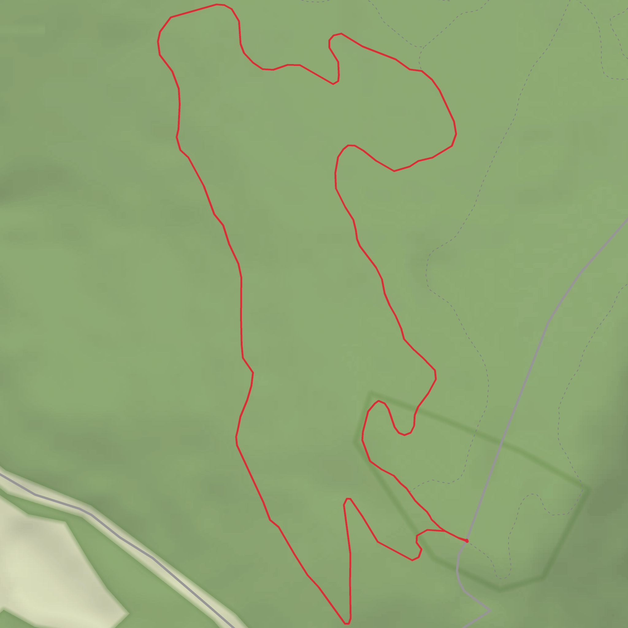
3.2 km
~43 min
56 m
Loop
“Missing trailhead details, we pause—ready to map your hike once you share them.”
I’m missing a few key pieces of information needed to make this accurate—especially the start location. Right now, “Hike head: near” is blank, and there are no coordinates to convert to a nearby address/landmark.
Send one of the following and I’ll write the full hike description exactly in the style you requested (with km + miles, m + ft, landmarks, wildlife, hazards, history, and how to get there by car/public transport, and using HiiKER for navigation):
1) Trailhead coordinates (lon,lat) (or a GPX/KML link/file), or
2) A Google Maps link to the trailhead/parking area, or
3) The nearest town/park/forest name + state/country (e.g., “near Pine Spur Trailhead, XYZ State Park, Colorado”).
Also confirm these two items so I don’t invent details: - Hike type: out-and-back, loop, or point-to-point? (If unknown, tell me what you prefer.) - The title says “Hard” but the rating says “Easy”—should I treat it as Easy (3 km / ~100 m) unless your source says otherwise?
Once you provide the trailhead location, I’ll convert it to the nearest known address or significant landmark and build the complete plan-ready description.
Surfaces
Unpaved
Unknown
Comments and Reviews
User comments, reviews and discussions about the Pine Spur - Hard, West Virginia.
average rating out of 5
0 rating(s)
