Download
3D Flyover
Add to list
More
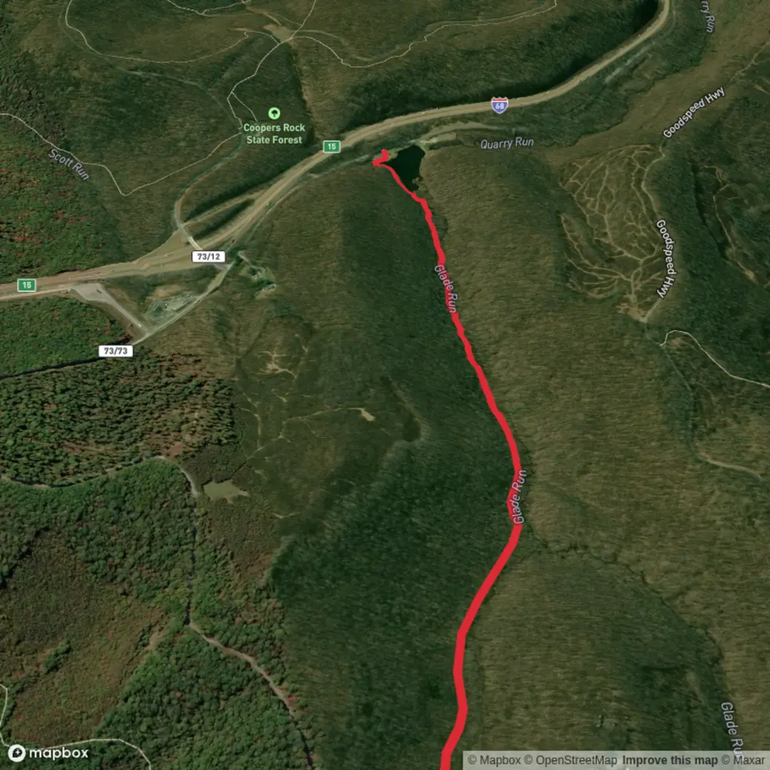
2.6 km
~31 min
0 m
Point-to-Point
“A gentle, mostly level woodland wander beside water—made for lingering, not rushing—weather permitting.”
Glade Run Trail is a short, low-effort walk of about 3 km (1.9 mi) with roughly 0 m (0 ft) of climbing, so it’s well-suited to beginners, families, and anyone looking for a relaxed nature outing. Expect mostly gentle grades, frequent opportunities to pause for photos, and a pace that’s more about observing the woods and water than “earning” viewpoints.
Getting to the trailhead (car + public transport)
You noted the hike starts “near” something, but the location details are missing. If you share any of the following, I can convert coordinates to the nearest known address/landmark and give precise directions:
- a longitude/latitude pair (even approximate), or
- the park/forest name, nearest town, or a Google Maps pin, or
- the HiiKER link for the route.
Until then, here’s the practical approach that works for most “Glade Run” trailheads in the U.S.: - By car: aim for the nearest signed trail parking area (often labeled “Trailhead Parking,” “Nature Trail Parking,” or a park day-use lot). Arrive early on weekends—small lots fill quickly even on easy trails. - By public transport: these smaller trailheads are often not directly served. The most reliable method is usually bus/train to the nearest town center, then a rideshare/taxi to the trailhead. If you tell me the nearest town, I’ll outline the most realistic transit chain.
Plan to open the route in HiiKER before you leave cell coverage, and download the offline map if the area is rural.
What the walk is like (surface, pacing, and accessibility)
With essentially flat elevation, the main “difficulty” comes from trail surface and wet spots, not steepness. Over ~3 km (1.9 mi), most hikers will take 45–75 minutes depending on stops and how muddy it is.
Common surfaces you’re likely to encounter on a trail like this: - Packed dirt or fine gravel through the woods - Short boardwalks or puncheon (raised planks) in wetter sections - Rooty or leaf-covered tread where footing can be slick after rain - Narrow singletrack in places, even if the overall route is easy
If the trail parallels a run/creek (as the name suggests), expect brief damp sections and possibly minor washouts after storms. Waterproof shoes aren’t mandatory in dry weather, but they’re a big comfort upgrade if rain has fallen in the last 24–48 hours.
Landmarks and natural features to watch for
On a short, flat loop or out-and-back like this, the highlights tend to be close together and subtle—more “small wonders” than big vistas.
Typical points of interest along a glade-and-run corridor: - Creekside bends and small riffles: look for undercut banks, gravel bars, and calmer pools where wildlife gathers. - Shaded glades: these are often slightly more open patches of forest where light reaches the understory—great for wildflowers in season. - Seasonal wildflowers and ferns: spring ephemerals (like trillium, violets, or spring beauties depending on region) often appear within the first 0.5–1.5 km (0.3–0.9 mi) of a moist woodland trail. - Mossy logs and nurse stumps: in damp forests, fallen trees become miniature ecosystems—worth slowing down for.
If there are any footbridges, they’re often the most memorable “landmark” on a short trail. Treat bridge decking as slippery when wet, especially if it’s older wood or has algae.
Wildlife and what to look out for
Even easy trails can be rich in wildlife—especially near water. - Birdlife: expect songbirds in the canopy and, near water, species that hunt insects. Early morning is best for activity. - Amphibians: frogs and salamanders are common in moist woods; watch the trail edges, especially after rain. - Deer and small mammals: most active at dawn/dusk; you’ll often see tracks in soft mud near the run.
Practical cautions (U.S. general): - Ticks: common in brushy edges and leaf litter. Wear long socks, use repellent, and do a full check after the hike. - Poison ivy: often grows along sunny margins and disturbed ground near trailheads. - Snakes: usually avoid people, but watch where you place hands/feet near logs or rock edges, especially in warm months.
Navigation and on-trail logistics
Because the elevation is minimal, it’s easy to wander onto side paths without realizing it—especially near creek crossings, picnic areas, or junctions with wider park paths. Keep an eye out for: - Unsigned junctions (social trails to the water) - Trail braiding in muddy areas (multiple parallel tracks) - Seasonal reroutes after high water
Use HiiKER to confirm you’re staying on the intended line, particularly if the trail network is dense.
Regional history (what’s commonly relevant on “run” trails)
Many creekside trails in the eastern and midwestern U.S. follow landscapes shaped by: - Historic logging and milling (water-powered mills often sat on runs/creeks) - Old farm boundaries (stone piles, fence lines, or straight “property line” woods edges) - Conservation-era park development (many easy nature trails were laid out to showcase streams, glades, and accessible woodland)
If you tell
Surfaces
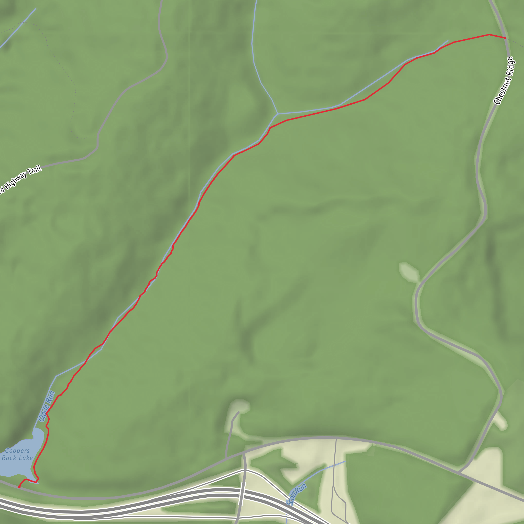
Dirt
Unknown
Comments and Reviews
User comments, reviews and discussions about the Glade Run Trail, West Virginia.
average rating out of 5
0 rating(s)
