Download
3D Flyover
Add to list
More
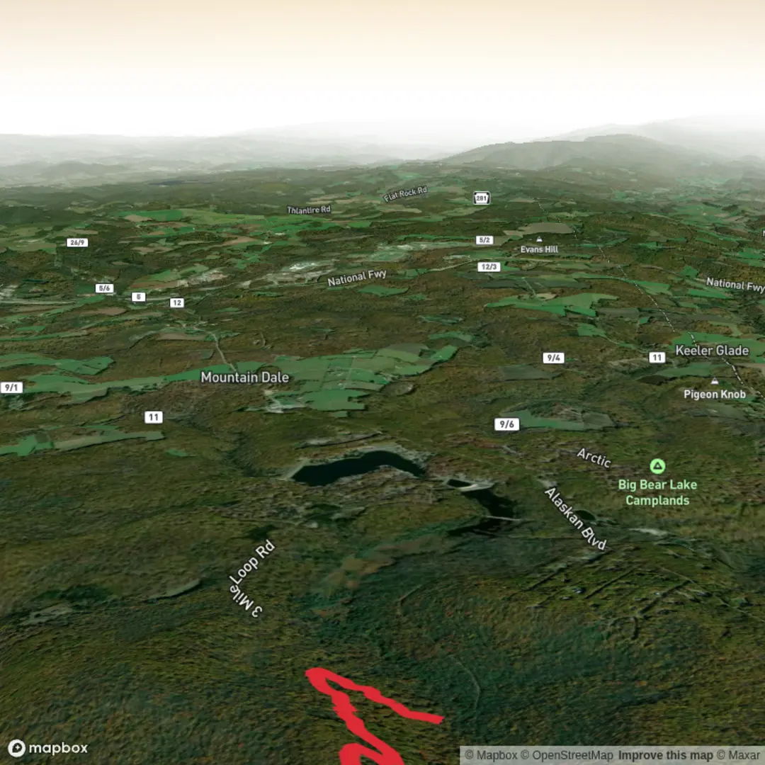
4.5 km
~1 hrs 3 min
100 m
Out and Back
“A vivid trail tale awaits—share the start coordinates or link, and I’ll paint the journey.”
I can write this exactly in the style you want, but I’m missing the key location details needed to make it accurate—especially since you asked me to convert lon/lat to the nearest known address or landmark.
Send one of the following and I’ll take it from there:
1) Start point coordinates (lat, lon) (and end point if different), or
2) A HiiKER link to Gene’s Trail, or
3) The park/trailhead name + town/state/country (e.g., “near __, __”).
Also, if you know any of these, include them (optional but helpful): - Loop or out-and-back (hike type) - Any waypoints/landmarks on the route (lookouts, lakes, bridges, ruins) - Typical season you’re hiking (helps with wildlife, mud/snow, closures)
Once I have the location, I’ll include: - Driving + public transport approach to the trailhead - A step-by-step route description with distances in km + miles and elevation in m + ft - What to expect underfoot (surface, steep bits, exposure), key landmarks, likely wildlife/plant communities - Any relevant historical context for the specific area - Navigation notes using HiiKER only

Surfaces
Unpaved
Unknown
Comments and Reviews
User comments, reviews and discussions about the Gene's Trail, West Virginia.
average rating out of 5
0 rating(s)