
Download
3D Flyover
Add to list
More
5.0 km
~1 hrs 4 min
44 m
Out and Back
“A gentle dam-side connector invites an easy, reflective stroll—once the trailhead details are confirmed.”
I’m missing the key location details needed to make this accurate and to convert the start point to a nearby address/landmark.
Send one of the following and I’ll write the full hike description exactly in the style you requested:
- Start coordinates (lat, lon) (and end coordinates if different), or
- A HiiKER link, or
- The park/reservoir/town + state/country where “Dam Connector Trail” is located, or
- Upload the map image (if you have it).
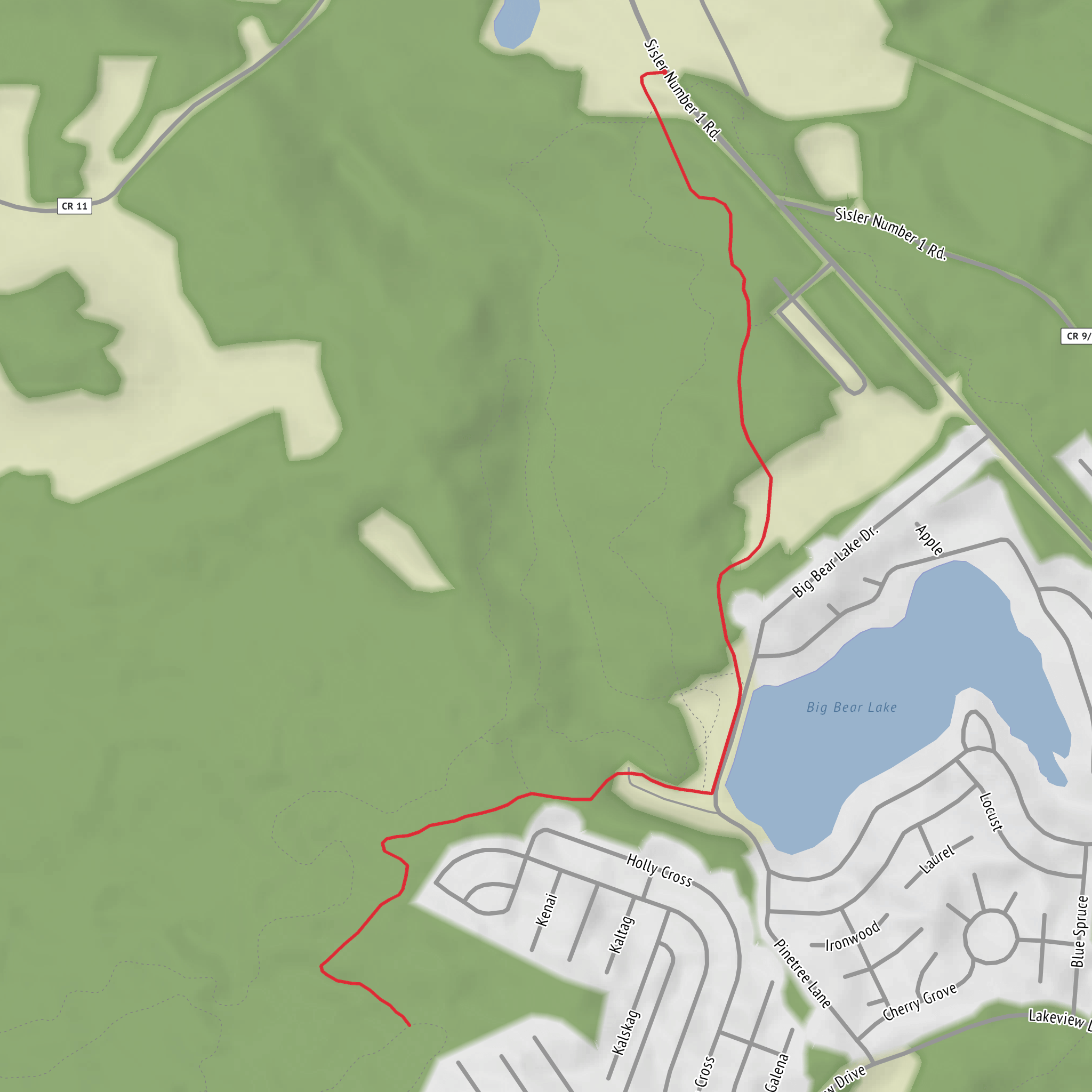
Also, please confirm these two fields (they’re blank): - Hike head (trailhead): “near ____” - Hike type: out-and-back / loop / point-to-point
Once I have that, I’ll include: - driving + public transport approach to the trailhead, - distances in km + miles and elevation in m + ft (your “~0 m” gain suggests a flat multi-use path or dam-top connector), - notable landmarks (dam structures, spillways, viewpoints, interpretive signs), - likely surfaces and accessibility considerations, - local flora/fauna you can realistically expect in that specific region, - any relevant historical context tied to the dam/reservoir/area.
Surfaces
Unpaved
Unknown
Comments and Reviews
User comments, reviews and discussions about the Dam Connector Trail, West Virginia.
average rating out of 5
0 rating(s)
