
Download
3D Flyover
Add to list
More
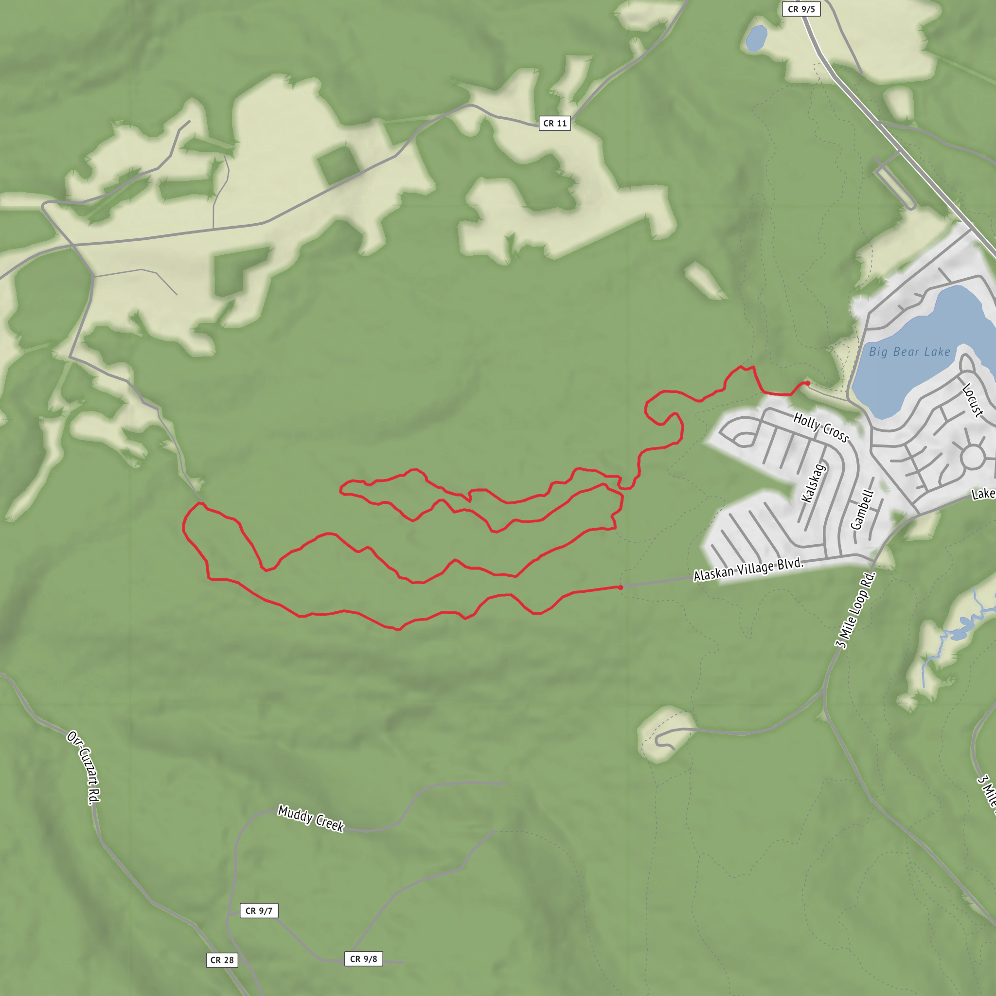
8.2 km
~1 hrs 51 min
134 m
Loop
“Share the missing trailhead details, and I’ll paint a vivid Crack Trail guide with careful caveats.”
I’m missing a few key pieces of information needed to describe the correct “Crack Trail” and to convert the start location into a nearby address/landmark.
Send one of the following and I’ll write the full hike description (8 km / ~5 mi, ~100 m / ~330 ft, Easy) with landmarks, nature/wildlife, hazards, history, and detailed logistics:
1) Start point coordinates (lon/lat) for the trailhead (and ideally the end point if it’s point-to-point), or
2) A link to the route on HiiKER, or
3) The country/state/region + nearest town/park (e.g., “near __, __”).
Also tell me:
- Hike type: loop / out-and-back / point-to-point
- “Hike head: near …” (it looks cut off)
- Any constraints: preferred direction, seasonal timing, or whether you want family/stroller-friendly notes.
Once you provide the trailhead lon/lat (or HiiKER link), I’ll convert it to the nearest known address or significant landmark and build the route description with approximate distance markers in km and miles and elevation in m and feet.
Surfaces
Unpaved
Comments and Reviews
User comments, reviews and discussions about the Crack Trail, West Virginia.
average rating out of 5
0 rating(s)
