Download
Preview
Add to list
More
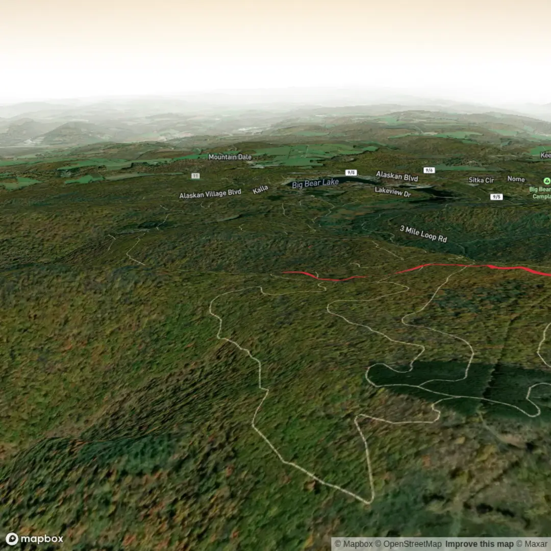
3.6 km
~55 min
121 m
Out and Back
“A trail tale poised on missing coordinates—send a start point, and the landscape comes alive.”
I’m missing a few key pieces of information to make this accurate (especially the start point). “Chunder Mountain Trail” isn’t uniquely identifiable without a location, and your “Hike head: near” line looks incomplete—so I can’t reliably convert lon/lat to a nearby address/landmark yet.
Send one of the following and I’ll write the full hike description exactly in the style you requested:
1) Start point coordinates (lon,lat) (and end point if different), or
2) A trailhead name + nearest town/park/state/province + country, or
3) A HiiKER link to the route.
Also tell me (if you know):
- Hike type: loop / out-and-back / point-to-point
- Any constraints: season, snow, dogs, camping, fees/permits, road access (2WD/4WD)
Once I have the start location, I’ll include: - Driving + public transport approach to the trailhead - Distances/elevation in km + miles and m + ft - What the tread is like, key landmarks, likely wildlife, hazards to watch for - Regional historical context tied to the specific area - Nearest known address/significant landmark for any coordinates you provide (converted from lon/lat)

Surfaces
Unknown
Unpaved
Comments and Reviews
User comments, reviews and discussions about the Chunder Mountain Trail, West Virginia.
average rating out of 5
0 rating(s)