Download
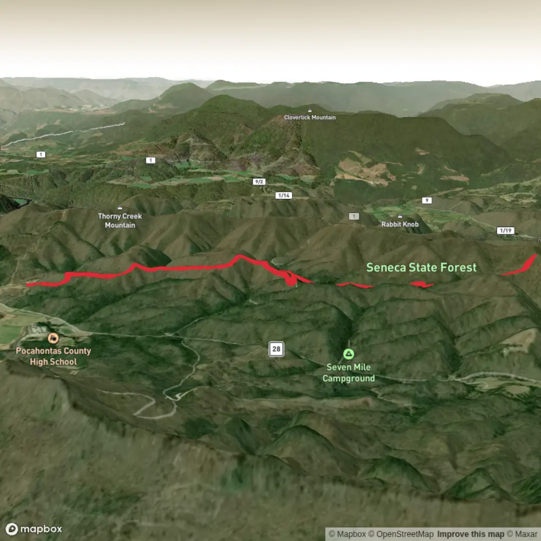
3D Flyover
Add to list
More
12.6 km
~2 hrs 59 min
283 m
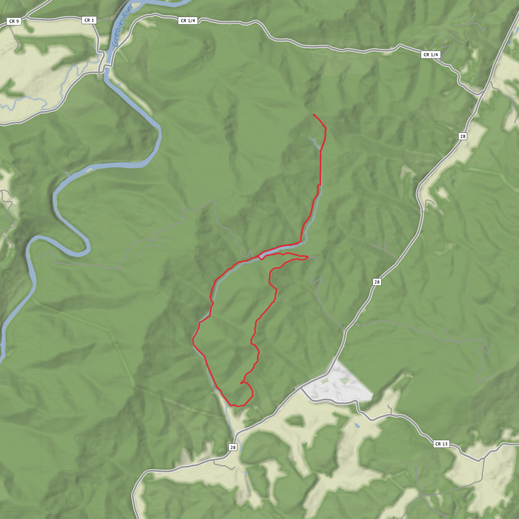
Loop
“A thoughtful trek-in-the-making—once the missing details click in, Thorny Creek’s story can shine.”
I’m missing a few key pieces needed to make this accurate (there are multiple “Thorny Creek Trail” routes in the U.S., and “near …” is blank). Share either of the following and I’ll write the full, detailed hike description exactly in the format you want:
1) Start point coordinates (lat, lon) (and end point if different), or a HiiKER link, or
2) The state + nearest town/park/forest (e.g., “near Marlinton, WV in Monongahela NF”).
Also confirm these two items so I don’t guess wrong:
- Hike type: out-and-back, loop, or point-to-point?
- Hike head: what should it be “near” (town/landmark), or provide the lon/lat so I can convert it to the nearest known address/landmark.
Once you send that, I’ll include: - Turn-by-turn expectations with approx. distances in km + miles and elevation in metres + feet (13 km / ~8.1 mi; 300 m / ~985 ft as your baseline) - Key landmarks, terrain, water crossings, seasonal conditions, and what to watch for - Wildlife + habitat notes appropriate to the exact region - Any relevant historical context for the specific area - How to reach the trailhead by car and public transport (where feasible) - Navigation guidance referencing HiiKER only
Surfaces
Unpaved
Unknown
Comments and Reviews
User comments, reviews and discussions about the Thorny Creek Trail, West Virginia.
average rating out of 5
0 rating(s)
