Download
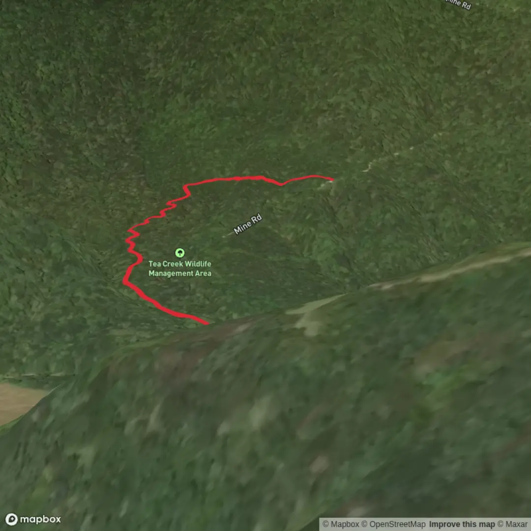
3D Flyover
Add to list
More
1.8 km
~21 min
0 m
Point-to-Point
“A shaded creekside wander with footbridges, rushing riffles, and pause-worthy pools—watch slick banks.”
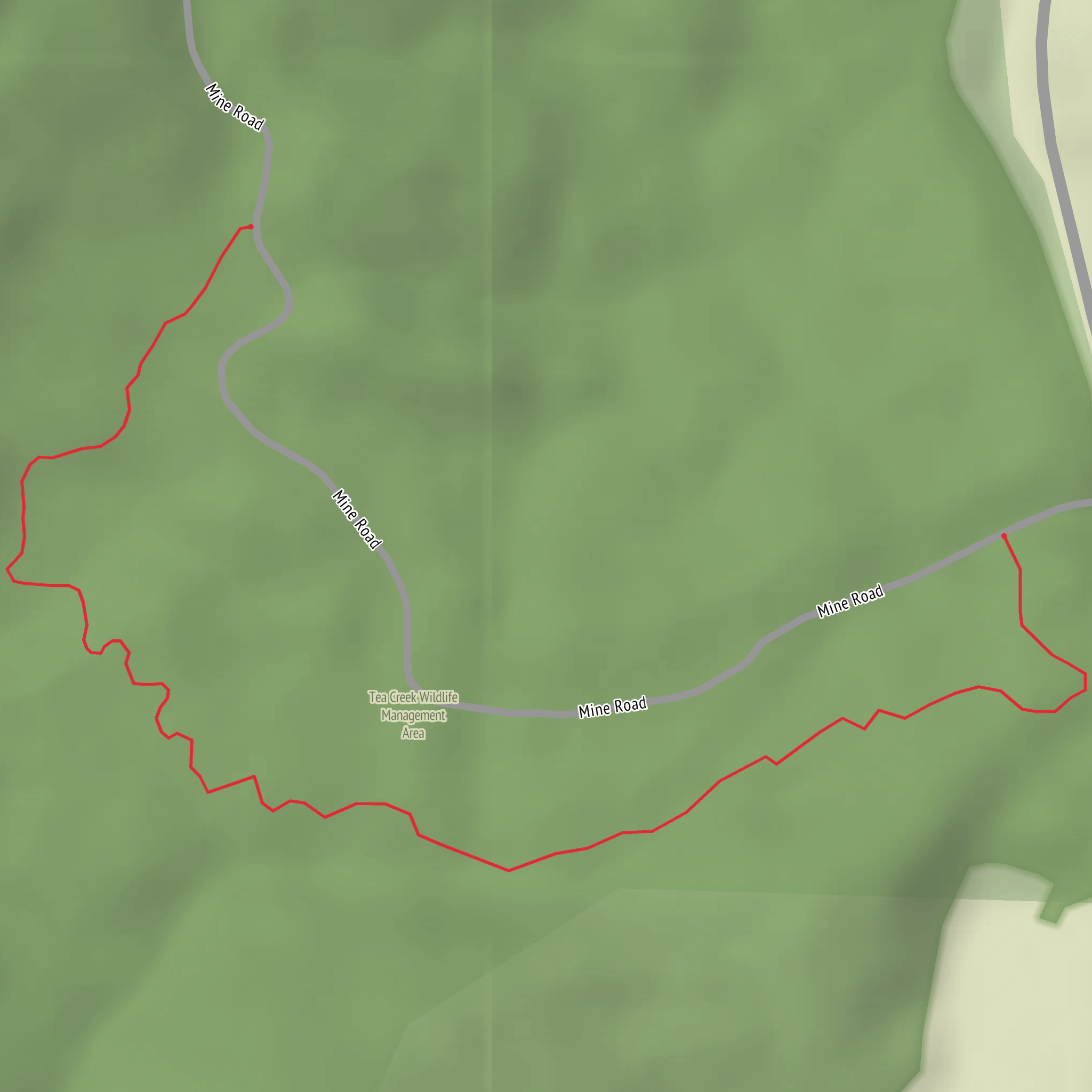
A short, mostly level out-and-back or loop-style stroll (depending on which access points you use) that follows Roaring Run’s corridor for roughly 2 km / 1.2 mi with ~0 m / ~0 ft of climbing. Expect a shaded creekside walk with frequent sound of moving water, a few small footbridges or boardwalk-style sections in places, and plenty of “pause points” where the stream narrows and speeds up.
Getting to the trailhead (car + public transport)
Because “Roaring Run Trail” is a name used in more than one region, the exact start point depends on which Roaring Run you mean. If you share any one of the following, I can convert it to the nearest address/landmark and tailor directions precisely:
- a latitude/longitude,
- a town/park name, or
- a HiiKER link.
Until then, here’s the most reliable way to plan arrival:
- By car: Search your maps app for “Roaring Run Trailhead” plus the nearest town/park name shown on HiiKER. Most Roaring Run trailheads are small pull-offs or park lots with limited spaces—arrive early on weekends. If you see signage for a run/creek access, that’s usually the correct corridor.
- By public transport: These trailheads are often outside dense transit networks. The typical approach is bus or rail to the nearest town, then a rideshare/taxi to the trailhead. When you open the route in HiiKER, check the “nearby” labels (parks/roads) and use those as your pickup/drop-off reference.
If you provide coordinates, I’ll translate them to the nearest known road crossing, park entrance, or named landmark and give step-by-step directions.
What the walk is like underfoot
With minimal elevation change, this is usually a firm, family-friendly path: packed dirt, fine gravel, or a maintained park trail. After rain, the low-lying creek corridor can hold water—plan for: - muddy patches and slick roots near the stream edge, - occasional standing water in shallow dips, - short, narrow pinch points where vegetation crowds the tread.
Even on an “easy” profile, watch your footing where the trail runs right beside the water: the bank can be undercut, and wet rock can be surprisingly slick.
Landmarks and natural highlights
Roaring Run corridors tend to deliver their best moments in quick bursts rather than big vistas:
- Creek features: Look for small riffles, cascades, and plunge pools where the channel constricts. These spots are often the “roaring” sections—louder after rain or spring melt.
- Riparian forest: Expect moisture-loving plants—ferns, mosses, and leafy understory—especially in shaded bends. In warmer months, this shade can make the walk feel cooler than nearby open areas.
- Wildlife: Common sightings along stream trails include songbirds, woodpeckers, and small mammals. Amphibians are most active in damp conditions; give them space and avoid stepping in shallow, silty margins where they hide. If you’re in tick country, do a quick clothing check at the turnaround.
Navigation and timing
At 2 km / 1.2 mi, most hikers finish in 30–60 minutes depending on stops. The main way people get “turned around” on short creek trails is by taking a side path to the water or a picnic spur and rejoining the wrong tread.
Use HiiKER to: - confirm whether your route is out-and-back or a short loop, - identify any junctions or alternate access points, - keep an eye on distance so you turn around at the intended point (easy to overshoot when the walking is flat and pleasant).
What to bring (even for an easy 2 km)
- Footwear: light hikers or trail runners with decent grip; consider waterproof shoes if it’s been wet.
- Layers: creek corridors can be cooler; bring a light layer even on mild days.
- Water: at least a small bottle—short distance, but humidity near water can feel dehydrating.
- Bug/tick protection: especially late spring through early fall.
- Kid/pet considerations: keep dogs leashed near water and at any narrow sections; the bank edge can be unstable.
Historical context to look for
Many “Roaring Run” areas sit in landscapes shaped by water-powered industry (mills), logging, or early settlement corridors that followed streams for access and power. If your Roaring Run is within a named park or heritage area, there may be: - remnants of old foundations, stonework, or mill races, - interpretive signs about local industry or watershed restoration, - evidence of stream management (stabilized banks, planted riparian buffers).
Share the nearest town/coordinates, and I’ll pin down the specific Roaring Run’s local history and point out exactly what to watch for along your 2 km route (including the nearest address/landmark for the start).
Comments and Reviews
User comments, reviews and discussions about the Roaring Run Trail, West Virginia.
average rating out of 5
0 rating(s)
