Download
Preview
Add to list
More
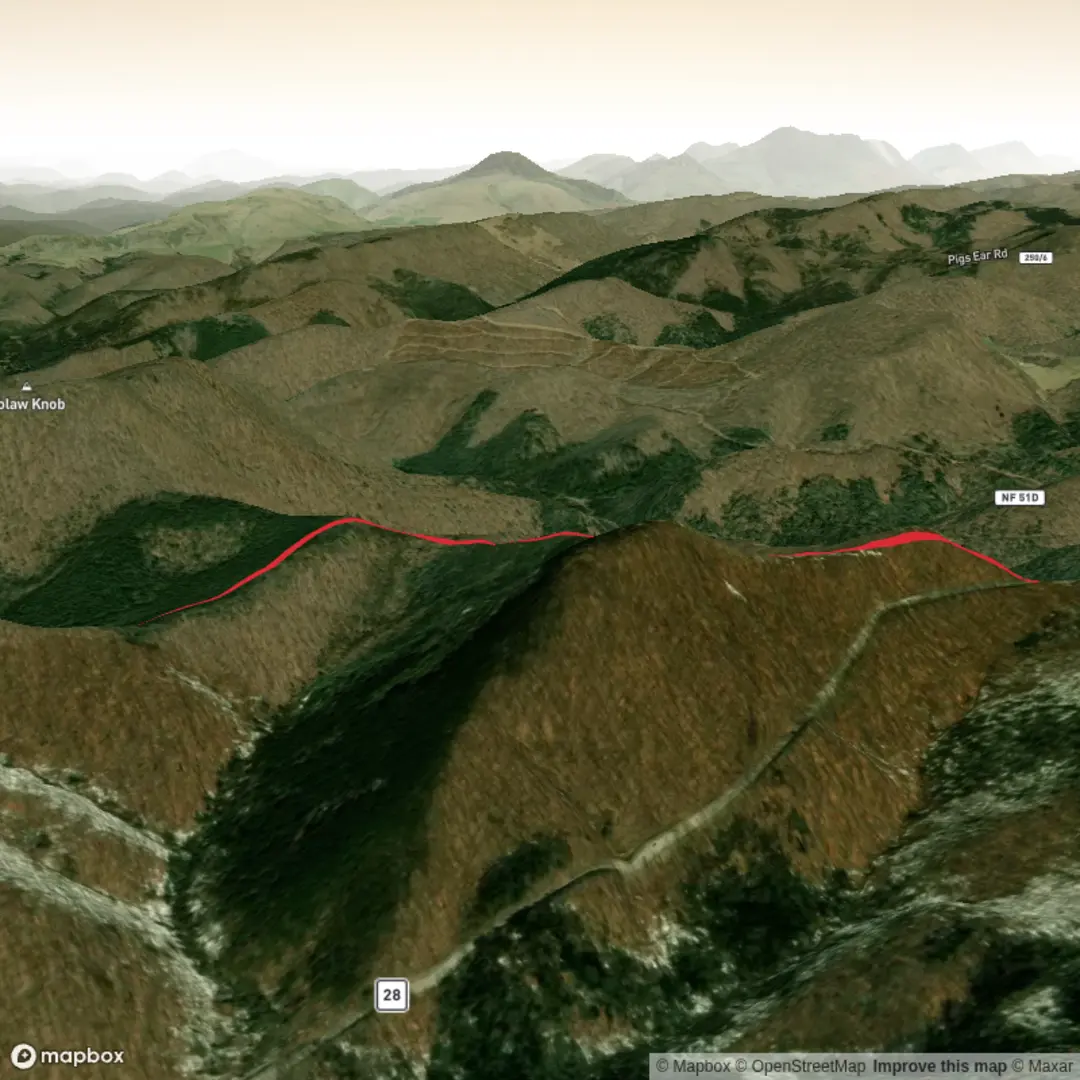
3.7 km
~53 min
90 m
Out and Back
“Share a link, coordinates, or map screenshot, and we’ll paint Poca Run into a landmark-led story.”
I’m missing a few key pieces of information to describe the correct “Poca Run” and to convert the start location into a nearby address/landmark.
Please send one of the following, and I’ll write the full hike description (with distances in km/miles, elevation in m/ft, access by car/public transport, landmarks, wildlife, hazards, and any local history):
1) A HiiKER link to the Poca Run route, or
2) The start coordinates (lat, lon) (and if you have them, the end coordinates), or
3) A map screenshot of the route with a visible start point.
Also, can you confirm these two fields?
- Hike head: near … (it’s currently blank—what town/park/state/country?)
- Hike type: loop, out-and-back, or point-to-point?
Once I have the start location, I’ll convert it to the nearest known address or significant landmark and build the plan around a ~4 km (≈2.5 mi), ~100 m (≈330 ft) medium hike.

Surfaces
Unknown
Asphalt
Comments and Reviews
User comments, reviews and discussions about the Poca Run, West Virginia.
average rating out of 5
0 rating(s)