
Download
3D Flyover
Add to list
More
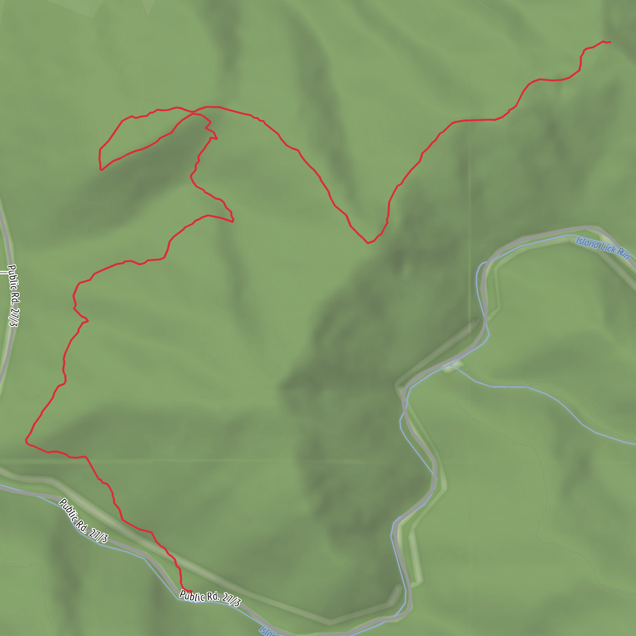
9.8 km
~2 hrs 15 min
182 m
Out and Back
“A trail’s story awaits—share the trailhead and route style to bring Monongaseneka to life.”
I’m missing a few key specifics to make this accurate (especially the start location). “Monongaseneka Trail” doesn’t uniquely identify a single trail in my offline knowledge, and you also left the “Hike head: near” and “Hike type:” fields blank—so I can’t convert coordinates to a nearby address/landmark or give reliable transport directions yet.
Send any one of the following and I’ll write the full, detailed hike description exactly in the format you asked for:
1) A HiiKER link to the Monongaseneka Trail, or
2) Trailhead coordinates (lat, lon) and (if you have them) the end point coordinates, or
3) The nearest town/park/road name where the trail starts (even a rough “near ___” is fine), plus whether it’s a loop / out-and-back / point-to-point.
If you paste coordinates, I’ll convert them to the nearest known address or significant landmark and include: - distance/elevation in km + miles and m + ft - what the tread is like (track, forest road, boardwalk, etc.), typical mud/stream crossings, and what to watch for - notable landmarks, ecology, and likely wildlife - any historical context relevant to the area - how to reach the trailhead by car and public transport (based on the actual start point) - navigation guidance referencing HiiKER only
Reply with the trailhead location and hike type, and I’ll produce the complete hike description.
Comments and Reviews
User comments, reviews and discussions about the Monongaseneka Trail, West Virginia.
average rating out of 5
0 rating(s)
