
Download
3D Flyover
Add to list
More
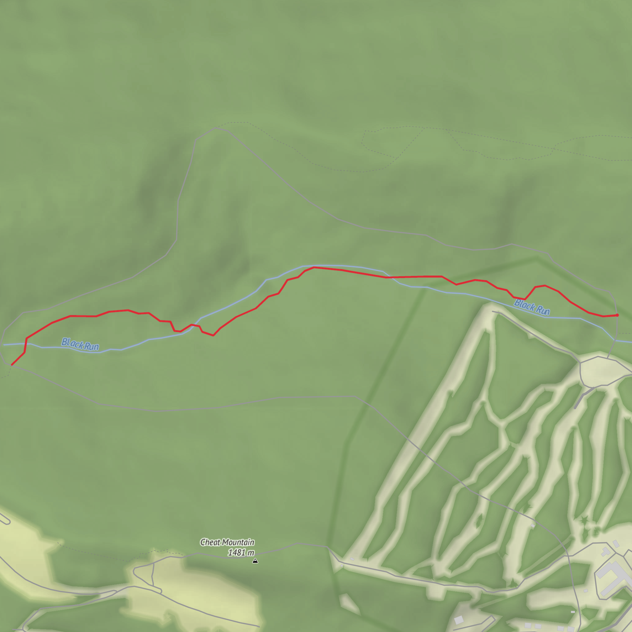
4.2 km
~57 min
76 m
Out and Back
“Help me pinpoint “Lower Beaver Dam,” and I’ll paint a trail tale with grounded, local detail.”
I’m missing a few key pieces of location info to make this accurate (especially the “near …” part and any lon/lat you want converted). “Lower Beaver Dam” is a name used in multiple places, and the landmarks, wildlife, access, and history will be completely different depending on which one you mean.
Send one of the following and I’ll write the full hike description exactly in the style you requested:
1) Coordinates for the trailhead (preferred):
- trailhead lon/lat (or a HiiKER link)
2) Nearest town/park/state:
- e.g., “near [town], [state]” or “in [park/forest name]”
3) If you have them, also include:
- loop/out-and-back/point-to-point (if known)
- any waypoints you care about (dam, creek crossing, viewpoint, etc.)
Once I have the location, I’ll:
- convert the lon/lat to the nearest recognizable address or major landmark,
- give driving + public transport options to the start,
- break down the route with approx. distances in km + miles and elevation in m + ft,
- flag likely trail conditions and hazards,
- note wildlife/seasonal considerations, and
- include historical context specific to that region.
Comments and Reviews
User comments, reviews and discussions about the Lower Beaver Dam, West Virginia.
average rating out of 5
0 rating(s)
