Download
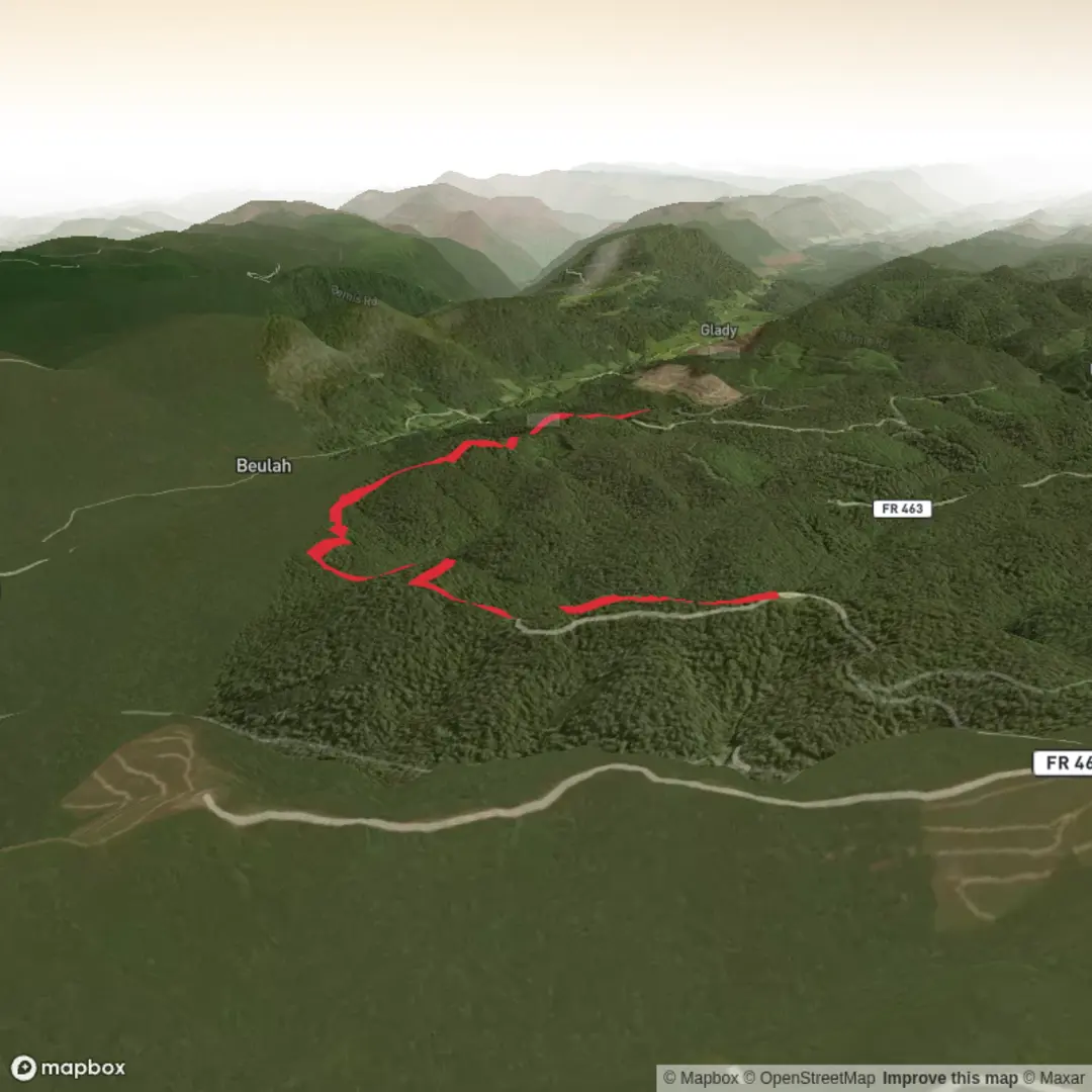
3D Flyover
Add to list
More
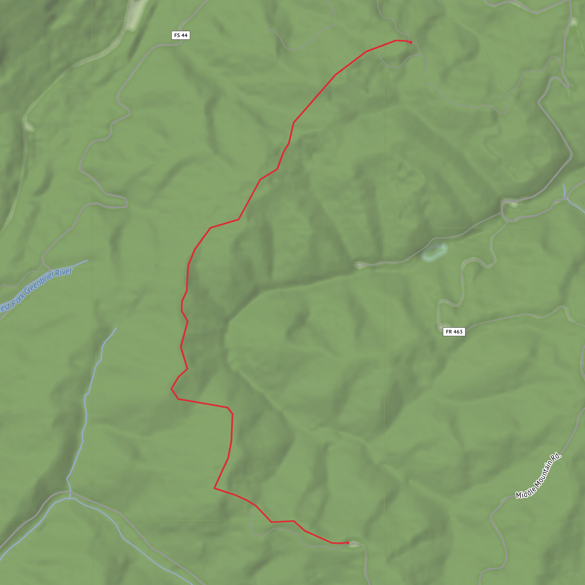
5.0 km
~1 hrs 12 min
120 m
Point-to-Point
“A colourful, planning-ready County Line Trail story awaits—once you pin down the exact trailhead.”
I’m missing a few key details needed to make this accurate and useful—especially because “County Line Trail” exists in multiple places, and your start location is currently blank (“near …”). If you share the start point, I’ll convert it to the nearest known address/landmark and tailor everything (access, landmarks, hazards, history, wildlife) to the correct region.
Send one of the following:
- A lon/lat for the trailhead (example: 40.12345, -105.12345), or
- A HiiKER link, or
- The nearest town/park/state (example: “near X, Colorado”).
Also confirm (if you know):
- Hike type: loop / out-and-back / point-to-point
- Any must-hit waypoint (lake, overlook, boundary marker, etc.)
Once I have that, I’ll write a full planning-grade description for a ~5 km (~3.1 mi) hike with ~100 m (~328 ft) gain at a Medium difficulty, including:
- Turn-by-turn style guidance using HiiKER for navigation references
- Approximate distance/elevation breakdowns in km + miles and m + feet
- Public transport + driving/parking specifics for the exact trailhead
- Seasonal conditions, surface/footing, and what to watch for
- Notable nature/wildlife typical to that exact area
- Any local historical context tied to the region and the “county line” feature
Comments and Reviews
User comments, reviews and discussions about the County Line Trail, West Virginia.
average rating out of 5
0 rating(s)
