Download
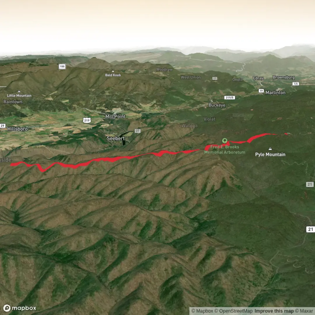
3D Preview
Add to list
More
16.2 km
~4 hrs 2 min
486 m
Out and Back
“A vivid hike plan awaits—once the trailhead’s pinned, Burnside Ridge’s story can unfold safely.”
I’m missing a few key pieces needed to make this accurate (especially the start location). Right now, “Hike head: near” is incomplete, and there are no coordinates to convert to a nearby address/landmark.
Send any one of the following and I’ll write the full, detailed hike description (with km/miles + m/ft, landmarks, wildlife, hazards, history, and how to get there by car/public transport, using HiiKER for navigation):
1) Trailhead coordinates (preferred) in lon/lat (example: -79.12345, 37.12345)
2) A Google Maps pin / plus code for the trailhead
3) The nearest town/park/forest name + state/province (example: “near Warm Springs, VA”)
Also confirm these two items so I don’t guess wrong:
- Hike type: out-and-back, loop, or point-to-point?
- Region: Is this the Burnside Ridge / Ann Bailey Trail in Virginia (George Washington & Jefferson National Forest area), or a different Burnside Ridge elsewhere?
Once you provide the trailhead location, I’ll convert it to the nearest known address or significant landmark and produce the complete hike plan.
Surfaces
Ground
Unknown
Asphalt
Comments and Reviews
User comments, reviews and discussions about the Burnside Ridge Trail via Ann Bailey Trail, West Virginia.
average rating out of 5
0 rating(s)
