Download
Preview
Add to list
More
3.6 km
~43 min
0 m
Out and Back
“A gentle, mostly level reserve loop under wide skies—ideal for an easy wander and wildlife watching.”
A gentle, mostly level loop through open reserve country, this walk suits families, first-time hikers, and anyone after an easy leg-stretcher with big-sky views and a good chance of spotting common park wildlife. At roughly 4 km (2.5 mi) with about 0 m (0 ft) of climbing, it’s the kind of outing where the main “effort” is simply keeping a relaxed pace and taking time to look around.
Before I can give you accurate start-point directions and convert coordinates to the nearest address/landmark, I’m missing the location details: your “Hike head: near” field is blank, and I don’t have any lon/lat points.
Share any one of the following and I’ll tailor everything precisely (including public transport options, parking, and the closest known address/landmark):
- the town/city + state (or country) the reserve is in, or
- a HiiKER link, or
- the trailhead coordinates (lon/lat), or
- a screenshot/static map of the route.
What to expect on the ground (typical for an easy, flat reserve loop)
- Surface & footing: Usually a mix of mown grass, compacted dirt, and short sections of gravel or boardwalk depending on drainage. After rain, low-lying reserve trails can hold water—expect soft edges and occasional puddles even when the route is “flat.”
- Gradient: With essentially no elevation gain, the walk feels steady throughout. Any “ups and downs” are typically minor undulations, small berms, or gentle rises over culverts.
- Exposure: Flat reserves often mean less shade than forest trails. Sun and wind can be the biggest factors—bring a hat and a light layer even on mild days.
- Crowds: Easy reserve loops are popular with dog-walkers and runners. Expect to share the path and keep right on narrower sections.
Landmarks, nature, and wildlife to look out for
What you’ll see depends heavily on which Bruffey Reserve this is, but reserve trails commonly pass through a few repeating habitat types: - Open grassland / meadow edges: Look for butterflies and other pollinators around flowering margins. These areas can also attract birds of prey hunting small mammals. - Wetland or drainage lines (if present): Even subtle low points can support reeds, rushes, and seasonal pools. These are prime spots for frogs and waterbirds—also where mosquitoes can be most active. - Tree lines and shelterbelts: If the route skirts planted trees or remnant woodland, you’ll often find the most bird activity here, especially early and late in the day.
If dogs are allowed, keep an eye out for ground-nesting birds in open areas and give wildlife plenty of space. In warmer months, it’s also smart to watch for ticks in long grass—light-colored clothing makes them easier to spot.
Navigation and planning (HiiKER)
Because reserve networks can have multiple intersecting paths, it helps to have the route loaded in HiiKER so you can confirm you’re staying on the intended loop at junctions. On flat terrain, it’s easy to wander onto a parallel track and not notice until you’re farther along than expected.
Getting to the start (car + public transport)
I can’t responsibly give exact directions without the trailhead location. Once you provide the town/coordinates/HiiKER link, I’ll include: - the nearest known address or major landmark to aim for, - parking expectations (formal lot vs roadside pull-in), - the most practical public transport approach (nearest stop/station + walking distance in km and miles), - and any access notes (gates, opening hours, shared-use rules).
What to pack for an easy 4 km (2.5 mi) flat walk
- Water: ~500 ml to 1 L per person is usually plenty for this distance, more in heat or full sun.
- Footwear: Comfortable walking shoes are fine; choose something with grip if the reserve gets muddy.
- Sun/wind protection: Hat, sunscreen, and a light layer.
- Bug protection: Repellent can be useful near wetlands or at dusk.
Historical significance (once location is confirmed)
“Bruffey Reserve” could refer to different places, and the historical context changes completely by region. If you share the reserve’s location (or coordinates), I’ll add accurate notes on: - local Indigenous/First Nations connections and place history (where publicly documented), - any settlement, farming, or conservation history tied to the reserve, - and notable heritage features (old boundaries, waterways, former land use) that you might pass along the trail.
Send the HiiKER link or the trailhead lon/lat, and I’ll turn this into a fully specific, turn-by-turn style hike description with distances between key points and the nearest real-world address/landmark for the start.

Comments and Reviews
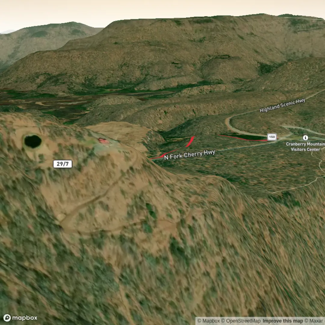
User comments, reviews and discussions about the Bruffey Reserve Trail, West Virginia.
average rating out of 5
0 rating(s)