Download
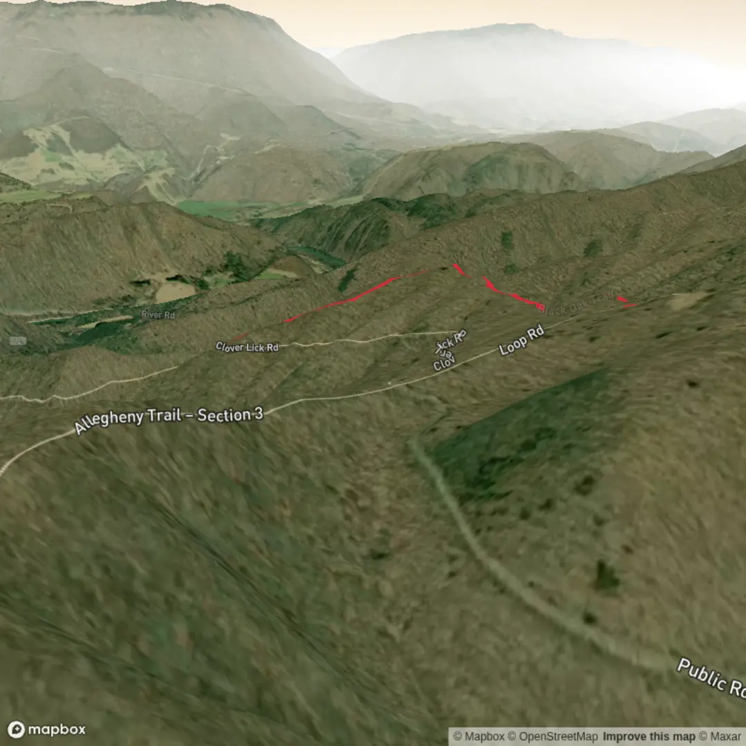
3D Flyover
Add to list
More
3.2 km
~51 min
136 m
Out and Back
“Share a trailhead pin, and your “near” becomes a vivid, step-by-step hike story.”
I’m missing a few key pieces needed to write this accurately (especially the start location). Please paste either a HiiKER link or the trailhead coordinates (lat/long). Right now the hike head just says “near”, and “Hike type” is blank—there are multiple “Black Oak Trail” routes in the U.S., and the landmarks/wildlife/history and transit directions depend entirely on which one you mean.
Send any of the following and I’ll turn it into a full, ready-to-hike description (with km + miles, metres + feet, and a nearest address/landmark for the coordinates):
1) Trailhead coordinates (preferred):
- Start (lat, lon):
- End (lat, lon) if different:
2) Nearest place name (if you don’t have coordinates):
- City + state (or park/forest name):
3) Route type (choose one): loop / out-and-back / point-to-point
4) Optional but helpful:
- Typical direction of travel (clockwise/counterclockwise if loop)
- Any must-see features you already know (oak grove, viewpoint, creek, ruins, etc.)
Once you share that, I’ll include: - Step-by-step expectations by distance (every ~0.5 km / 0.3 mi) - Terrain notes (surface, steep bits, muddy sections, exposure) - Water crossings and seasonal considerations - Wildlife + plants to look for (and what to do around them) - Historical context specific to the park/region - Getting there by car and public transport, plus parking/logistics - Navigation guidance using HiiKER only
Surfaces
Ground
Unknown
Comments and Reviews
User comments, reviews and discussions about the Black Oak Trail, West Virginia.
average rating out of 5
0 rating(s)
