Download
3D Flyover
Add to list
More
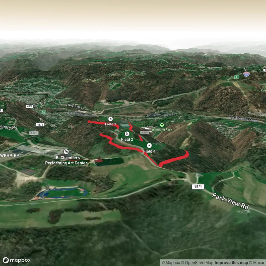
3.1 km
~37 min
7 m
Loop
“A gentle, mostly level wander—easygoing if you’re comfortable navigating junctions and shared paths.”
A short, mostly level outing of about 3 km (1.9 mi) with ~0 m (0 ft) of climbing, this is the kind of walk that suits a relaxed pace, beginners, families, and anyone looking for an easy leg-stretcher. Expect a gentle, low-effort route where the main “challenge” is usually staying oriented at junctions and keeping an eye out for shared-use traffic (walkers, runners, cyclists, and sometimes dog walkers), depending on where the trail sits.
Before I can tailor this properly—including the nearest real-world start address/landmark from coordinates, notable landmarks along the way, local wildlife, and any historical context specific to the area—I’m missing the key location details.
Please send one of the following: - The start point coordinates (lon/lat), plus (if you have them) any intermediate points, or - A HiiKER link to the route, or - The town/park/trailhead name (even approximate) and the state/country
And if you have it, also share: - The hike type (loop, out-and-back, point-to-point) - Any map image you mentioned (optional, but helpful)
Once I have that, I’ll provide: - Turn-by-turn style expectations with approximate distance markers in km and miles - Surface/terrain notes (paved, gravel, dirt, boardwalk, etc.) - Likely hazards (mud after rain, ticks, sun exposure, crossings, etc.) - Wildlife and seasonal considerations - Public transport and driving/parking options to the start - The nearest known address or significant landmark converted from your lon/lat points

Comments and Reviews
User comments, reviews and discussions about the Wphs cc Trail, West Virginia.
average rating out of 5
0 rating(s)