Download
3D Flyover
Add to list
More
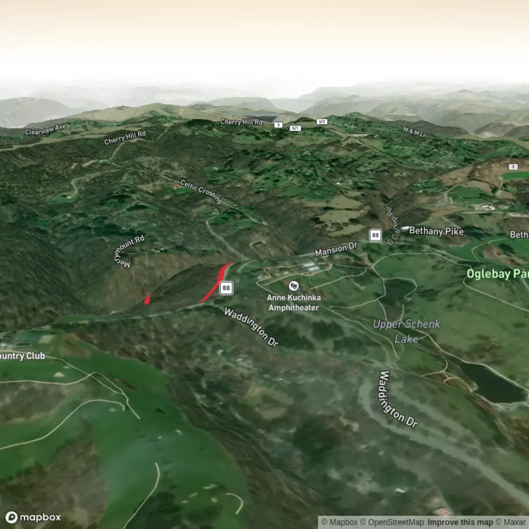
3.8 km
~47 min
25 m
Loop
“Share a start point or map pin, and I’ll paint a vivid, location-true hike story.”
I’m missing the key location details needed to make this accurate and to convert coordinates to a nearby address/landmark.
Send one of the following and I’ll write the full hike description exactly in the style you requested:
1) The start point as a lat/long (or a HiiKER link), or
2) The park/trailhead name + town/state/country, or
3) A map screenshot that shows the trail and a pin/marker for the start.
Also, if you know them, please add: - Hike head: near (it’s blank right now) - Hike type (loop, out-and-back, point-to-point) - Any lon/lat locations you want converted (waterfalls, viewpoints, parking, etc.)
Once I have the location, I’ll include: - Driving + public transport approach to the trailhead - Approx distances in km + miles and elevation in m + ft (your estimate is ~0 m / 0 ft gain, which suggests very flat terrain) - What to expect underfoot, accessibility notes, and what to watch for - Notable landmarks, habitat, likely wildlife, and any local historical context tied to the specific area

Surfaces
Unknown
Asphalt
Comments and Reviews
User comments, reviews and discussions about the The Bridle White Trail, West Virginia.
average rating out of 5
0 rating(s)