Download
3D Flyover
Add to list
More
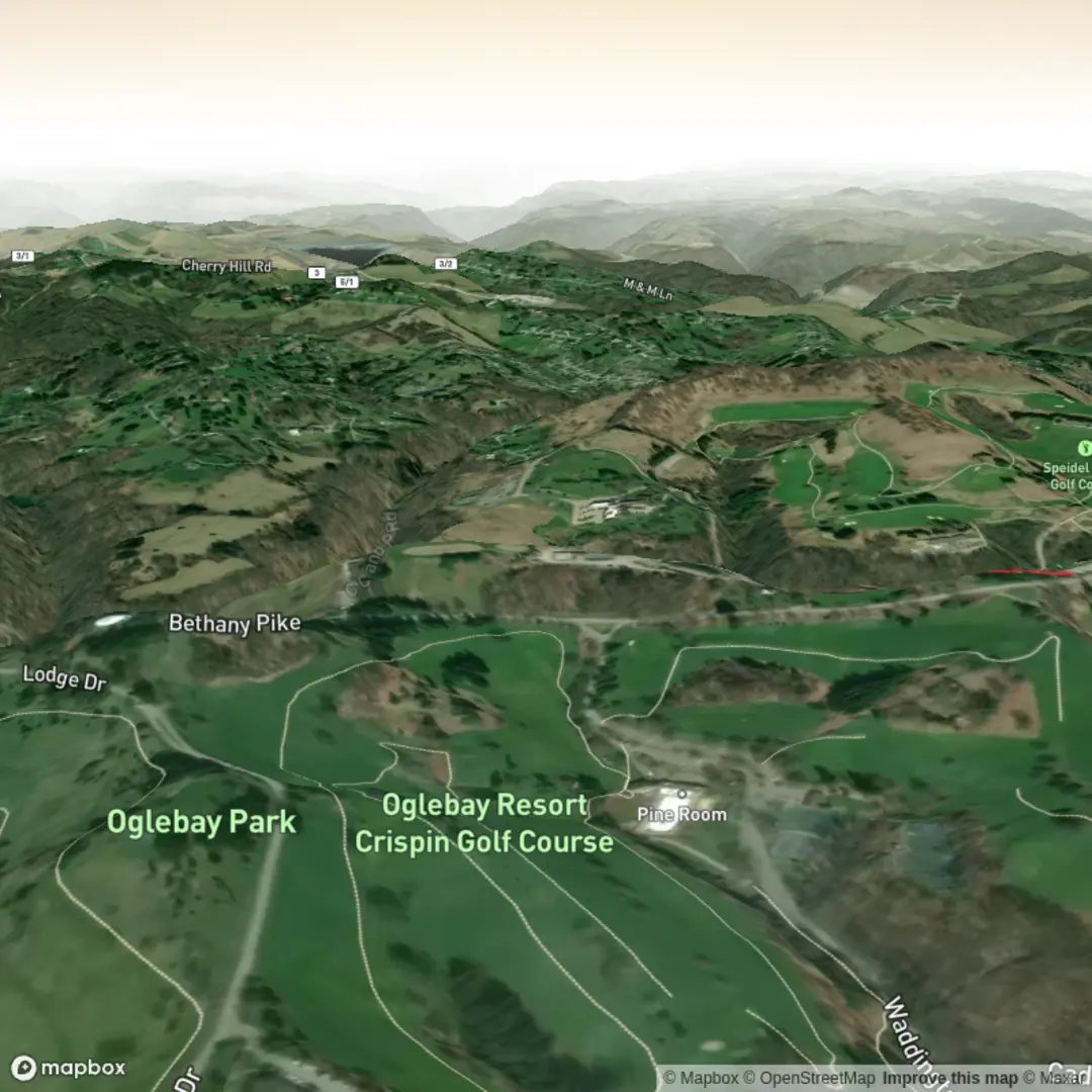
3.2 km
~44 min
58 m
Out and Back
“A gentle, low-commitment wander with a few playful rises—best savoured as a relaxed out-and-back.”
This is a short, low-commitment walk—about 3 km (1.9 mi) with roughly 100 m (330 ft) of climbing—best planned as a relaxed out-and-back or a small loop if local paths connect. With an Easy difficulty rating, most hikers will find it straightforward, but you’ll still want to be ready for a few short rises and any uneven footing typical of local singletrack or village-edge trails.
Before I can tailor this properly (and convert any coordinates to the nearest real-world landmark/address), I need the missing location details for “near …” and the hike type.
Please send one of the following:
- A lon/lat pair for the trailhead (or a GPX link/track), or
- The nearest town/region/country, plus any known landmark name (parking area, mosque/church, visitor center, trail sign, etc.), and
- Whether the hike is out-and-back, loop, or point-to-point (if you know).
Once you provide that, I’ll write a complete, planning-ready description including: - How to reach the start by car and public transport - What the terrain is like (surface, steep bits, exposure, shade) - Key landmarks and viewpoints with approximate distances in km/mi and climbing in m/ft - Seasonal considerations (heat, mud, snow/ice, water availability) - Likely flora/fauna and what to watch for - Any historical/cultural context specific to the area - Navigation guidance using HiiKER only

Comments and Reviews
User comments, reviews and discussions about the Mihr Trail, West Virginia.
average rating out of 5
0 rating(s)