Download
3D Flyover
Add to list
More
6.4 km
~1 hrs 18 min
19 m
Point-to-Point
“Stroll Wheeling’s riverside ribbon—flat, bustling, and bird-bright—where industry and habitat share the view.”
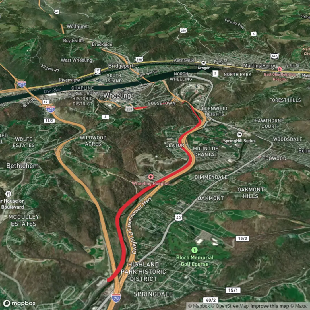
Expect a flat, mostly paved, multi-use riverside walk that’s ideal for an easy 6 km (3.7 mi) out-and-back or short point-to-point. Elevation change is essentially negligible—plan on roughly 0 m / 0 ft of climbing—so the “difficulty” comes more from weather exposure, shared-trail traffic, and a few urban crossings than from terrain. The corridor blends Ohio River views, working river industry (barges, docks, rail remnants), and pockets of riparian habitat where you’ll often spot birds along the water. (wheelingwv.gov)
Getting to the start (car + public transport)
By car (easy access/parking):
- A very common downtown access is the Intermodal Parking Garage beside WesBanco Arena (WesBanco Arena, Wheeling, WV). From there you can step onto the riverside trail and choose to head north or south. (wheelingwv.gov)
- If you want a clear “southern end” landmark to plug into your navigation, the city lists the southern endpoint at 48th Street & Water Street, Wheeling, WV (South Wheeling). (wheelingwv.gov)
- For a “northern end” landmark, the city notes access/parking at Pike Island Locks and Dam (north of Warwood along WV Route 2 / River Road). (wheelingwv.gov)
By public transport: Wheeling’s local transit options can vary by route and schedule, so the most reliable approach is to take a bus/taxi/rideshare to a fixed landmark like WesBanco Arena / downtown and start from the Intermodal Garage access. If you’re planning this, check your day-of timing in HiiKER and allow extra buffer for transfers.
On-trail experience (what the 6 km / 3.7 mi version feels like)
Because the full Ohio River segment is much longer, a 6 km outing is best treated as a “choose-your-direction” stroll from a convenient access point:
0.0–1.0 km (0.0–0.6 mi): settling into the river corridor
From downtown access points (around Heritage Port / the arena area), you’ll quickly get open views across the Ohio River. Expect a wide, shared path where walkers, runners, cyclists, and families mix—stay right, pass predictably, and keep an ear out for bikes coming from behind.
1.0–3.0 km (0.6–1.9 mi): industry + history side-by-side
This stretch is where Wheeling’s “working river” identity shows up: you may see barges moving along the channel and, with patience, lock-and-dam activity farther north on longer outings. The city also places interpretive signage along the system for a self-guided look at Wheeling’s past, reflecting how these corridors evolved from rail/industrial infrastructure into today’s trails. (wheelingwv.gov)
3.0 km (1.9 mi): turnaround point for a 6 km out-and-back
Pick a comfortable turnaround—often a bench/viewpoint or a clear street access—then retrace your steps for an easy, no-navigation-stress return. If you’re using HiiKER, drop a waypoint at your turnaround so you can keep the outing close to 6 km (3.7 mi) without guessing.
Landmarks and optional spurs
- Heritage Port / downtown riverfront access: A natural “hub” area where you can keep things simple and flat. (wheelingwv.gov)
- Connection toward Wheeling Creek Trail: If you decide you want a slightly more wooded feel without adding hills, the system connects at Heritage Port to the Wheeling Creek corridor, which is described as less urban and more wooded in character. (wheelingwv.gov)
- Hempfield Tunnel (1904) & Hempfield Viaduct (on the Wheeling Creek segment): Not on every 6 km Ohio River out-and-back, but worth knowing about if you pivot inland—these are standout historic rail-era structures along the connected trail network. (wheelingwv.gov)
Nature and wildlife to look for
Even though you’re in an urban setting, the river edge can be surprisingly lively. Watch for: - Waterfowl and river birds along calmer sections and near benches/viewpoints. - Seasonal changes: spring brings higher water and more bird activity; summer can be hot with strong sun exposure; fall is comfortable and clear; winter can mean icy patches in shaded spots.
The city specifically asks users not to feed waterfowl and wildlife, which helps keep animals healthy and reduces aggressive behavior around people.

Surfaces
Asphalt
Unknown
Comments and Reviews
User comments, reviews and discussions about the Greater Wheeling Trail, West Virginia.
average rating out of 5
0 rating(s)