Download
3D Flyover
Add to list
More
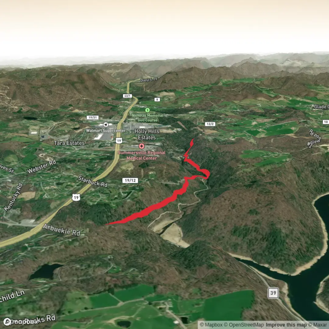
6.4 km
~1 hrs 21 min
43 m
Out and Back
“A colourful, detail-hungry trail tale awaits—share the missing start point to bring it alive.”
I’m missing a few key pieces needed to write this accurately (especially the start location). “Muddlety Trail” exists in more than one place, and your “Hike head: near” field is blank—so I can’t convert the lon/lat to a nearby address/landmark or give correct transport directions yet.
Send one of the following and I’ll write the full hike description exactly in the style you requested:
1) A HiiKER link to the Muddlety Trail route, or
2) The start point coordinates (lon,lat) and (if you have them) the end point coordinates, or
3) The country/state + nearest town/park (e.g., “near Buckhannon, WV” or “near Muddlety, West Virginia”), plus any map screenshot you have.
Also confirm these two details (quick yes/no is fine): - Is it a loop or an out-and-back? - Is the “~0 m elevation gain” truly flat, or just unknown/estimated?
Once you provide that, I’ll include: - Exact start location described as the nearest known address or significant landmark - Driving + public transport approach (as applicable) - What the tread is like (gravel, grass, boardwalk, mud, etc.), typical conditions, and what to watch for - Landmarks, habitat, likely wildlife, and any regional historical context - Distances in km and miles and elevation in m and feet - Navigation guidance referencing HiiKER only

Comments and Reviews
User comments, reviews and discussions about the Muddlety Trail, West Virginia.
average rating out of 5
0 rating(s)