Download
3D Flyover
Add to list
More
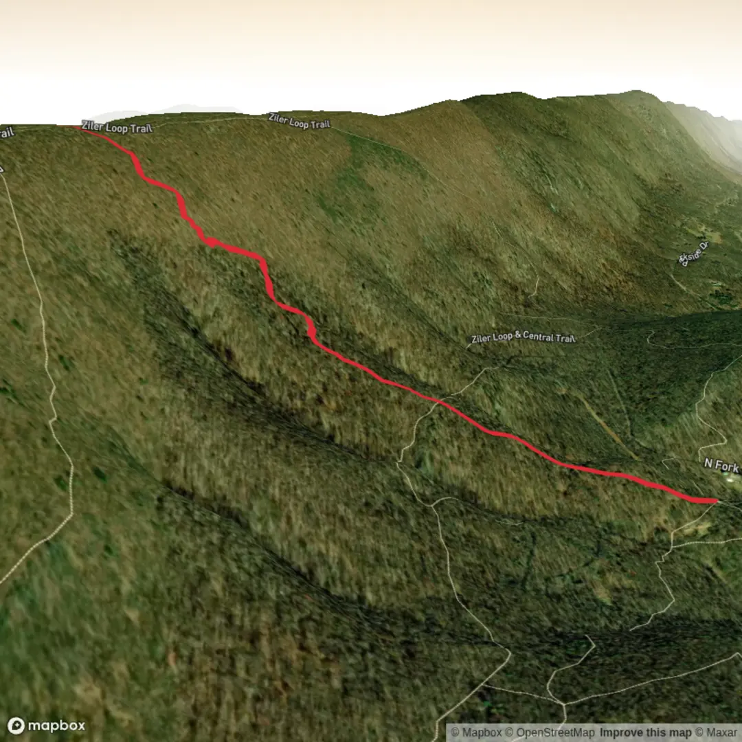
3.2 km
~1 hrs 5 min
275 m
Out and Back
“A trail tale waiting for its map-pin—share a start point, and the landscape comes alive.”
I’m missing a few key pieces of location data to describe the right “Ziler Trail” and convert the start point to a nearby address/landmark.
Send one of the following and I’ll write the full hike description exactly in the style you requested:
- a HiiKER link, or
- the start lon/lat (and end lon/lat if different), or
- the nearest town/park/state (e.g., “near Sedona, AZ” / “near Boulder, CO”), plus any trailhead name.
Also, if you know them, please fill these in (optional but helpful):
- Hike head: near (currently blank)
- Hike type: out-and-back / loop / point-to-point
Once I have the location, I’ll include: - driving + public transport approach to the trailhead, - approximate distance/elevation in km + miles and m + ft, - what the tread is like, steep sections, exposure, and what to watch for, - notable landmarks, ecology/wildlife, and any local historical context, - navigation guidance referencing HiiKER only, and - the nearest known address/significant landmark for any lon/lat you provide.

Surfaces
Ground
Unknown
Comments and Reviews
User comments, reviews and discussions about the Ziler Trail, West Virginia.
average rating out of 5
0 rating(s)