Download
3D Flyover
Add to list
More
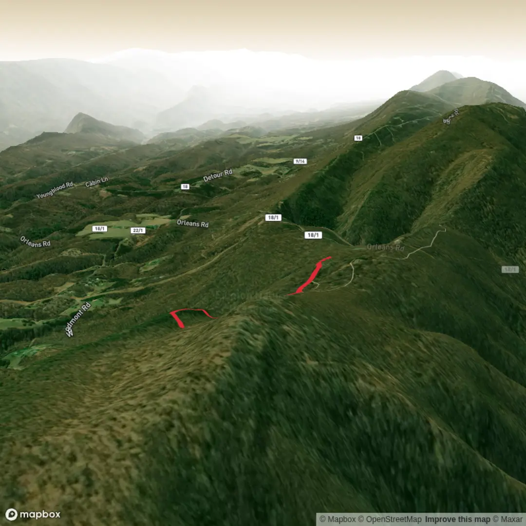
1.7 km
~28 min
83 m
Loop
“Share a trailhead link or coordinates, and I’ll paint a vivid, practical hike plan—tailored, not one-size-fits-all.”
I can write this up, but I’m missing a few key details needed to make it accurate and to convert any lon/lat to a real-world start point.
Please send one of the following: 1) The start coordinates (lon/lat) for the trailhead (and end coords if different), or 2) A link to the Peddicord Trail listing (HiiKER, park page, etc.), or 3) The nearest town/park/state (e.g., “near X in Maryland”) plus any coordinates you have.
Also confirm (if you know):
- Hike type: loop, out-and-back, or point-to-point
- Hike head near: (it looks cut off in your message)
Once I have that, I’ll provide: - A planning-focused route description for ~2 km / 1.2 mi with ~100 m / 328 ft gain (and I’ll adjust if the official track differs) - Turn-by-turn style guidance using HiiKER for navigation references - Landmarks, terrain, likely wildlife, seasonal considerations, and any local history - How to reach the trailhead by car and public transport - The trailhead described as the nearest known address or significant landmark (converted from your coordinates)

Surfaces
Unknown
Gravel
Comments and Reviews
User comments, reviews and discussions about the Peddicord Trail, West Virginia.
average rating out of 5
0 rating(s)