Download
3D Flyover
Add to list
More
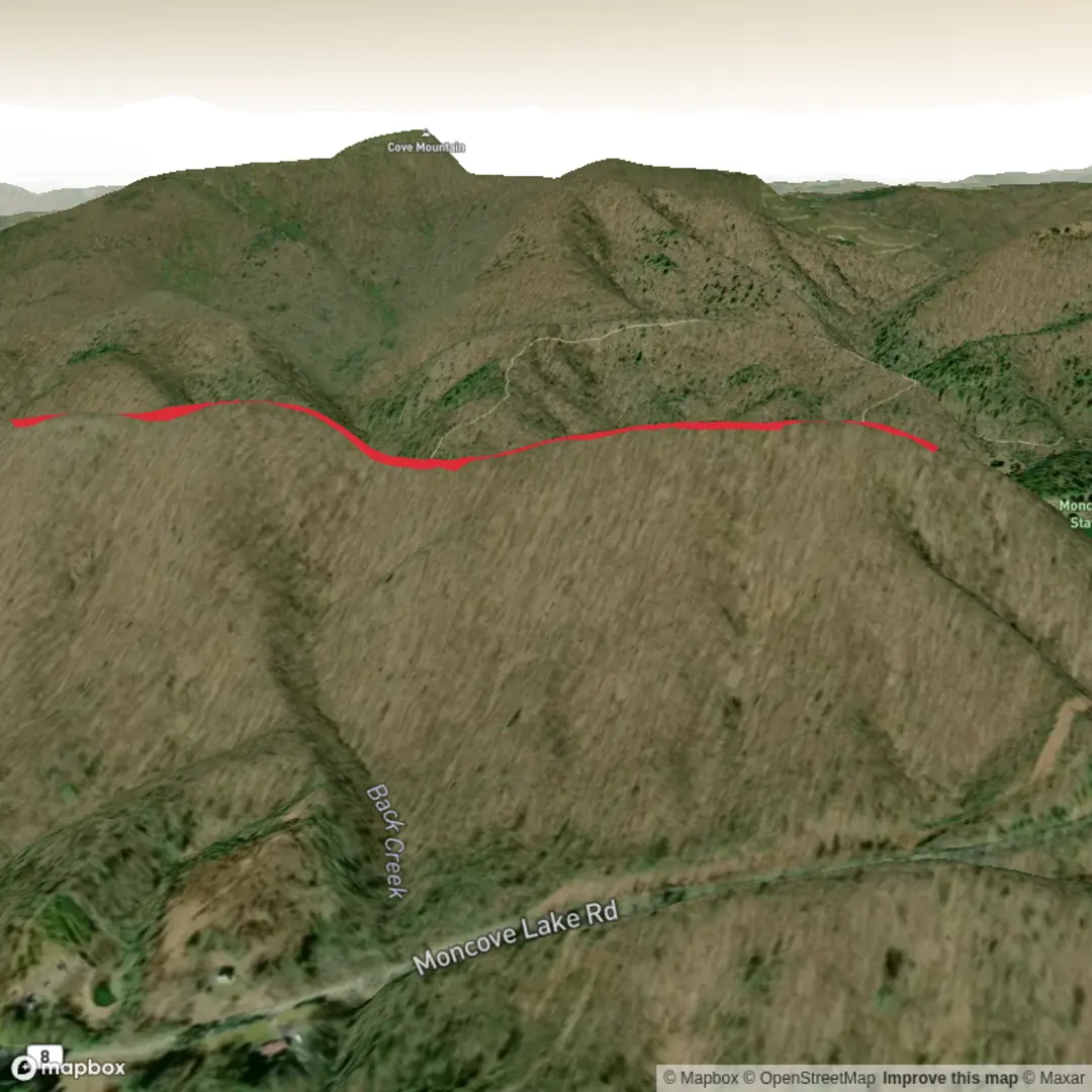
3.9 km
~1 hrs 4 min
181 m
Loop
“With a few missing trail details, Roxalia Springs can be painted into a vivid, accurate hike.”
I’m missing a few key pieces of info to describe the right “Roxalia Springs Trail” and to convert the start point to a nearby address/landmark.
Please send one of the following so I can write the full hike description (with distances/elevation in km+mi and m+ft, transit/driving directions, landmarks, wildlife, and any local history):
1) A HiiKER link, or
2) The start coordinates (lat, lon) and (if you have them) the end coordinates, or
3) The nearest town/state/country (e.g., “near __, __”) plus any clue like the park/forest name.
Also, two fields in your hike details are blank—can you confirm: - Hike head (near what?): - Hike type (loop, out-and-back, point-to-point):
Once you reply with that, I’ll produce the complete trail description exactly in the format you requested (no “Trail Description:” label, at least one mid-section sub-heading, and navigation references to HiiKER only).

Surfaces
Ground
Unknown
Comments and Reviews
User comments, reviews and discussions about the Roxalia Springs Trail, West Virginia.
average rating out of 5
0 rating(s)