Download
Preview
Add to list
More
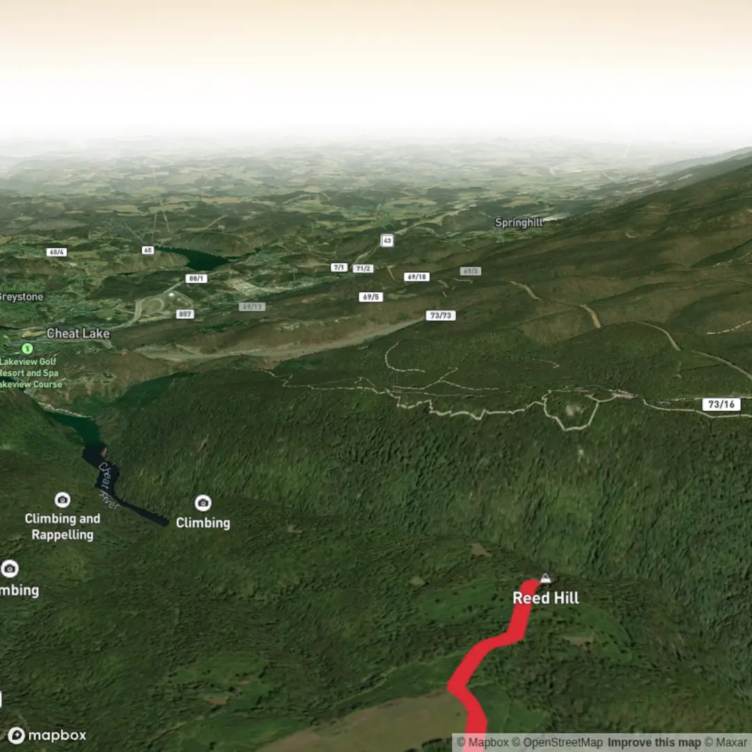
3.2 km
~41 min
27 m
Out and Back
“A gentle, mostly flat wander—once Reed Hill’s true trailhead is found, the story can bloom.”
I’m missing the key location details needed to make this accurate and useful. “Reed Hill” exists in multiple places, and your “Hike head: near” line is blank—so I can’t convert coordinates to a nearby address/landmark or give correct transport directions, wildlife, or historical context yet.
Send one of the following and I’ll write the full hike description exactly in the style you requested (with distances in km + miles, elevation in m + ft, and HiiKER for navigation):
1) Start point coordinates (lon,lat) (and end point if different), or
2) A Google Maps link to the trailhead/parking, or
3) The nearest town/city + state/country (e.g., “near Ashland, Oregon, USA”), plus any known trailhead/park name.
If you do have coordinates, please paste them like this:
- Start: -123.4567, 45.6789
- (Optional) End: -123.4567, 45.6789
Also, confirm these two blanks so I can match the right route: - Hike type: loop / out-and-back / point-to-point (or “unknown—choose best fit”) - Any constraints: stroller-friendly? dogs? muddy season? accessibility needs?
Once I have the location, I’ll include: - How to get there by car (parking/road access) and public transport (nearest stop + walk distance) - What the 3 km (~1.9 mi) easy, mostly flat route feels like, with distance markers - Notable landmarks, habitat, likely wildlife, and any local history tied to the area - What to watch for (surface, crossings, ticks/poison ivy, closures, etc.) and what to pack for an easy short hike

Surfaces
Unpaved
Unknown
Comments and Reviews
User comments, reviews and discussions about the Reed Hill, West Virginia.
average rating out of 5
0 rating(s)