Download
3D Preview
Add to list
More
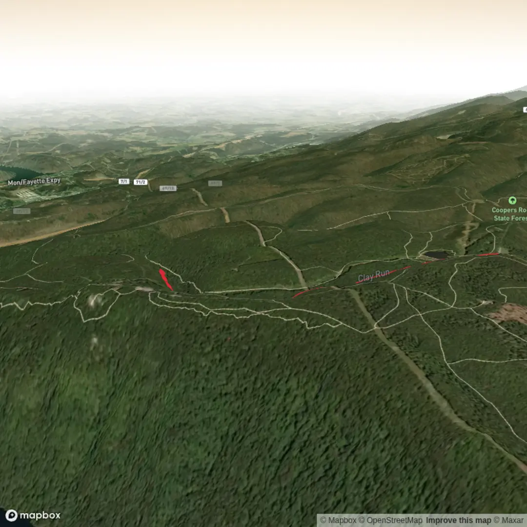
6.3 km
~1 hrs 28 min
125 m
Out and Back
“Before the Libor Trail comes alive, share a start point so the story fits your pace.”
I’m missing a few key pieces of information needed to describe this route accurately and convert the start location to a nearby address/landmark.
Send one of the following and I’ll write the full hike description exactly as you requested:
1) The start point as latitude/longitude (and end point if different), or
2) A HiiKER link to the Libor Trail, or
3) A static map image of the route, or
4) The country/region + nearest town/park/trailhead name.
Also, please confirm these (even if “unknown”):
- Hike head near: (it’s blank right now)
- Hike type: loop / out-and-back / point-to-point
- Any constraints: dogs allowed?, best season?, parking/public transit preference?
Once I have the location, I’ll include:
- Turn-by-turn style expectations with distance (km/mi) and elevation gain (m/ft) checkpoints
- Terrain, footing, and “watch-outs” (mud, exposure, crossings, ticks, etc.)
- Notable landmarks + local ecology/wildlife typical to that exact area
- Any historical significance tied to the region
- How to reach the trailhead by car and public transport, and the nearest known address/landmark to the provided coordinates

Comments and Reviews
User comments, reviews and discussions about the Libor Trail, West Virginia.
average rating out of 5
0 rating(s)