
Download
3D Flyover
Add to list
More
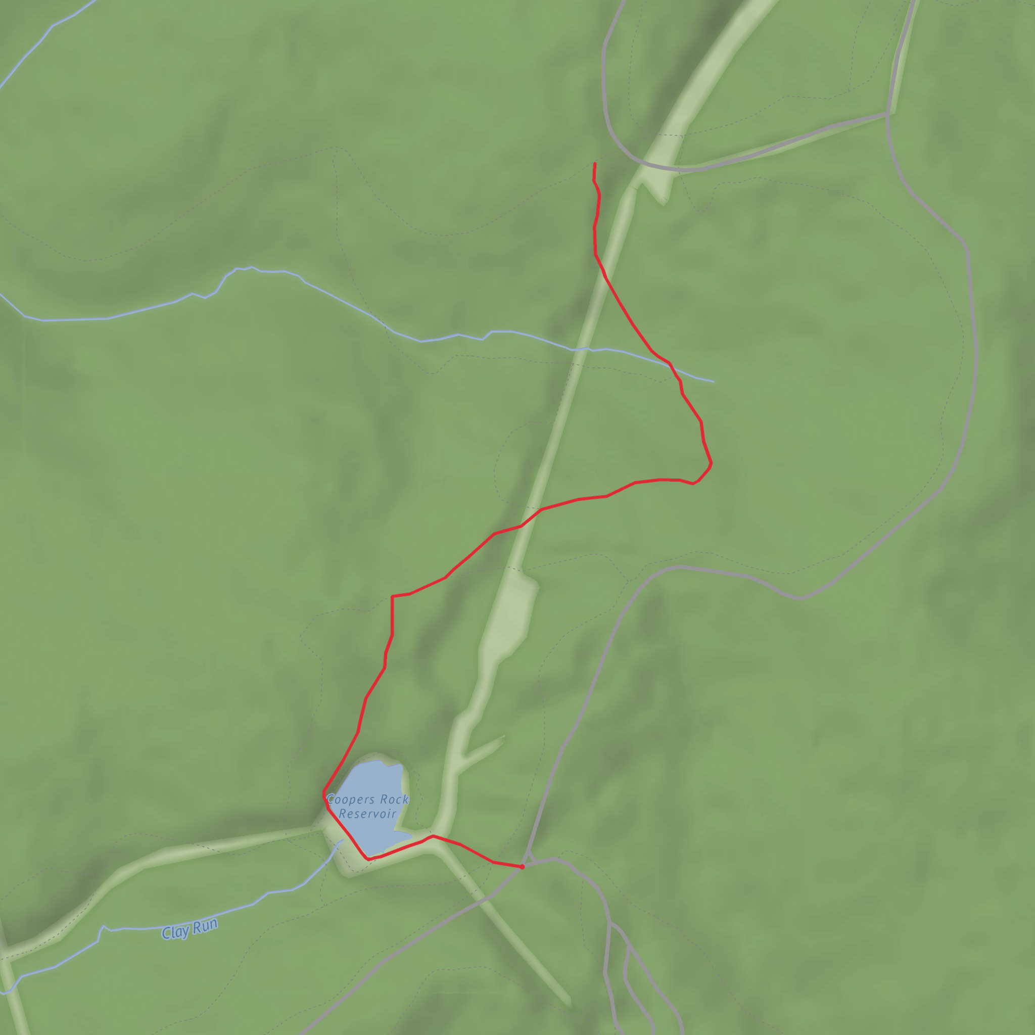
4.2 km
~59 min
88 m
Out and Back
“A short, shady headwaters ramble—cool creek air, mossy seeps, and punchy climbs on slick roots.”
I’m missing a few key specifics to make this accurate (especially the start location). Please paste either a link (HiiKER/AllTrails/etc.), or the trailhead coordinates (lat, lon), or the nearest town/park name. Once I have that, I can convert the coordinates to the nearest known address/landmark and tailor transport, landmarks, wildlife, and any local history.
In the meantime, here’s a planning-ready description that matches what you provided (≈4 km / 2.5 mi, ≈100 m / 328 ft gain, Medium). I’ll swap in the exact place names, access notes, and historical context as soon as you share the trailhead location.
You’re looking at a short, punchy outing—about 4 km (2.5 mi) with roughly 100 m (328 ft) of climbing—where the elevation gain is noticeable but spread out enough to stay in “medium” territory for most hikers. Expect a route that typically follows a drainage or creek corridor for at least part of the way (many “Headwaters” trails do), meaning cooler air, damp ground, and more shade than nearby open slopes. Even on a modest-distance hike, the combination of short climbs, roots/rocks, and wet patches can make it feel more demanding than the numbers suggest.
Plan for 1.5–2.5 hours depending on stops, footing, and whether the trail is out-and-back or a small loop (you didn’t specify the type yet).
Getting to the trailhead (car + public transport)
By car: Most headwaters-style trailheads are at the end of a smaller access road near a park boundary, watershed gate, or forest road junction. Aim to arrive early if it’s a popular natural area—parking is often limited and may be unpaved. Bring small bills or a card if the area uses day-use fees.
By public transport: These trailheads are often reachable only to a “last stop” town or park-and-ride, then require a rideshare/taxi for the final few miles. If you tell me the nearest town/coordinates, I’ll identify the closest practical transit stop and the likely last-mile options.
Navigation: Download the route in HiiKER before you go and save it for offline use—headwater valleys can have patchy reception, and junction signage is sometimes minimal.
What the hike feels like underfoot
With ~100 m (328 ft) of gain over 4 km (2.5 mi), you’ll likely encounter one of these patterns: - A steady climb away from the trailhead to a viewpoint/upper drainage, then a return the same way. - Rolling terrain with several short rises that add up. - A gradual climb along a creek with one steeper pitch near the upper “source” area.
Footing is commonly a mix of packed dirt, gravel, and rooty or rocky tread near water. After rain or snowmelt, expect mud, slick rocks, and small rivulets crossing the path—even if the day is dry.
Landmarks and natural features to watch for
On a “Headwaters” route, the most meaningful landmarks are usually subtle and ecological rather than dramatic: - Spring seeps and saturated ground: Look for bright green moss, water-loving plants, and small trickles emerging from hillsides—these are often the true “headwaters” features. - Creek crossings: Even tiny streams can be slippery. Trekking poles help with balance, especially if stepping stones are algae-coated. - Riparian corridor changes: You may notice a shift from drier upland vegetation to moisture-loving species near the watercourse. This transition zone is often where wildlife activity is highest. - Small cascades or plunge pools: Not always present, but common where the stream drops over bedrock shelves.
If the trail reaches a signed “headwaters” point, it may be marked by a spring box, interpretive sign, fenced restoration area, or a narrow, braided trickle rather than a single obvious source.
Wildlife and seasonal considerations
Headwater areas concentrate life. What you might encounter depends heavily on region, but these are common patterns: - Birdlife: Songbirds and woodpeckers are often active in the cooler, denser vegetation near water. - Amphibians: Salamanders/frogs are most likely in damp leaf litter and near seeps—watch your footing and avoid stepping in saturated margins. - Insects: Mosquitoes and gnats can be intense in warm months near standing water; pack repellent. - Larger mammals: Deer are common in many regions; in bear country, carry and know how to use bear spray where appropriate and keep food secured.
Ticks are a frequent issue in brushy edges and tall grass. Long socks, light-colored clothing, and a post-hike tick check are smart even on a short route.
Hazards and what to look out for
Even a 4 km (2.5 mi) hike can bite if conditions line up: - Slippery surfaces: Wet roots, smooth rock, and mud near the creek are the main fall risks. - Flashy water after storms: Small drainages can rise quickly. If a crossing looks higher/faster than expected, turn around—there’s rarely a safe workaround in a narrow headwater corridor. - Navigation at junctions: Headwater trails sometimes intersect service roads, spur paths to water infrastructure, or social trails. Confirm turns with HiiKER at every junction. - Cold pockets: Valleys can stay cooler and damper
Comments and Reviews
User comments, reviews and discussions about the Headwaters Trail, West Virginia.
average rating out of 5
0 rating(s)
