Download
3D Flyover
Add to list
More
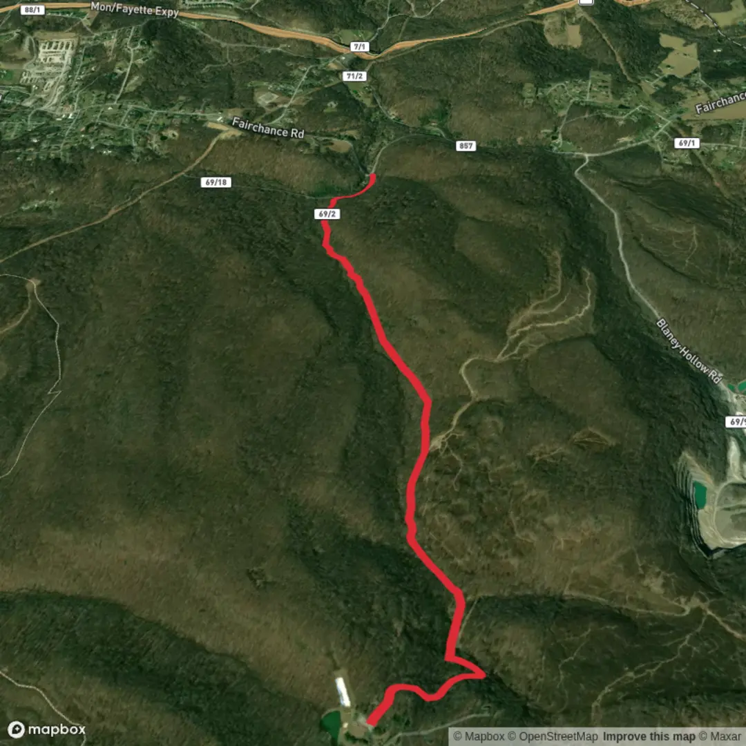
4.0 km
~49 min
7 m
Point-to-Point
“A trail’s story waits in the details—share a start point so guidance fits your route.”
I’m missing the key location details needed to describe and plan this hike accurately. “Darnell Hollow Road Trail” is a name that can apply to more than one place, and your “Hike head: near” field is blank—so I can’t convert coordinates to a nearby address/landmark, give correct driving/public transit directions, or describe the right landscape, landmarks, wildlife, and local history.
Send any one of the following and I’ll write the full hike description (with distances in km + miles, elevation in m + ft, Easy pacing, and HiiKER-only navigation references):
1) Start point as either:
- a lon/lat (example: 36.1234, -84.5678), or
- a Google Maps link, or
- the nearest town/state + trailhead/road pull-off name
2) Optional but helpful:
- Hike type (out-and-back, loop, point-to-point)
- Any known landmarks you want included (bridge, creek, cemetery, overlook, etc.)
- Whether the route is on paved road / gravel road / forest track / singletrack
- If you have a static map image, upload it
Once you provide the start location, I’ll: - Convert the lon/lat to the nearest known address or significant landmark - Explain exactly what to expect along ~4 km (2.5 mi) with ~0 m (0 ft) gain (and note any small rollers that still feel “flat”) - Cover surface, mud/ice risk, stream crossings, road-walking safety, and what to watch for - Include seasonal conditions, typical flora/fauna, and any historical context tied to the specific area - Give car access + public transport options that actually serve that trailhead area
Comments and Reviews
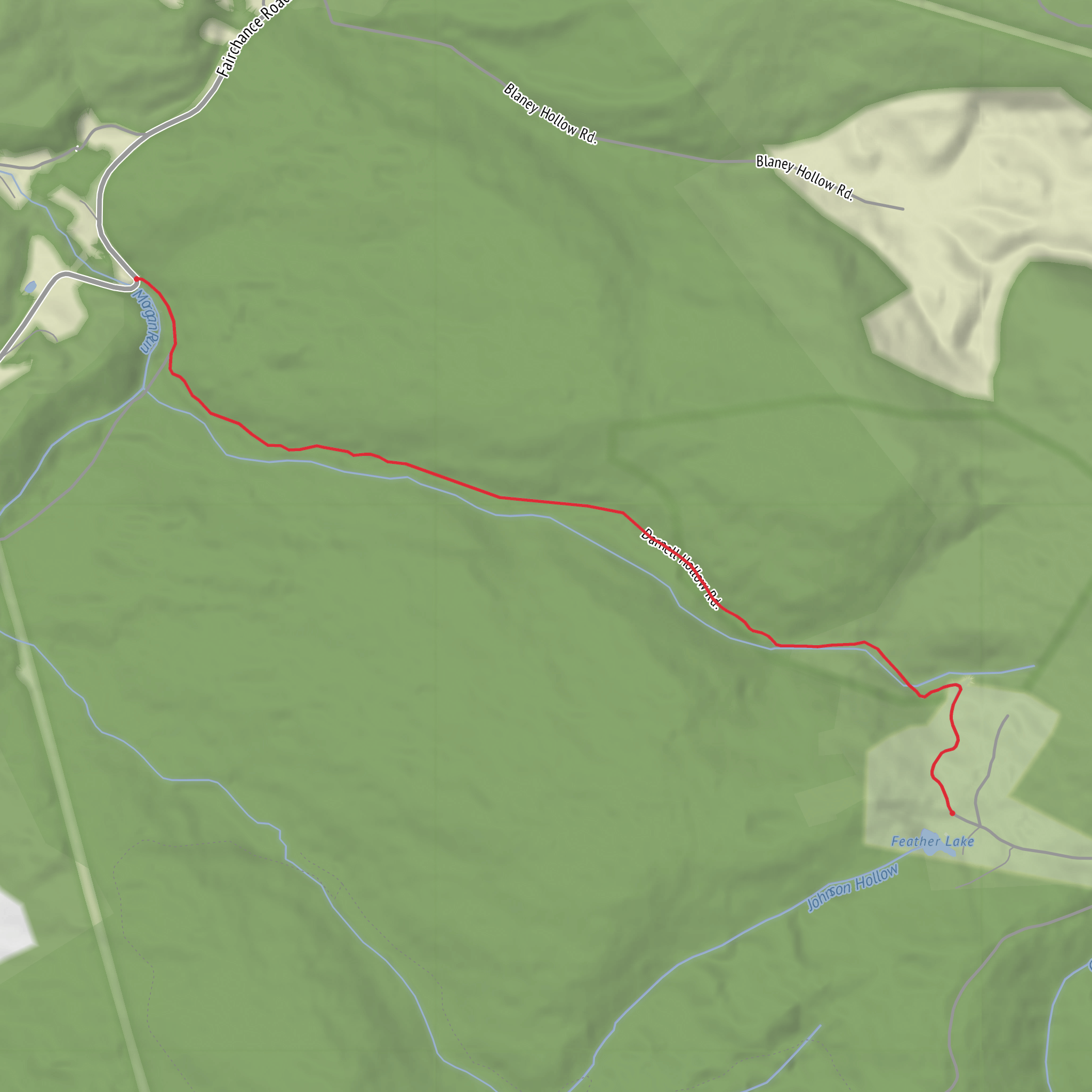
User comments, reviews and discussions about the Darnell Hollow Road Trail, West Virginia.
average rating out of 5
0 rating(s)
