Download
3D Flyover
Add to list
More
11.6 km
~2 hrs 20 min
12 m
Out and Back
“Wander a quiet riverside rail-bed, where forested slopes and Potomac reflections keep the pace gentle.”
This is a gentle, mostly level rail-trail walk of about 12 km (7.5 mi) with minimal elevation change (expect roughly 0–40 m / 0–130 ft of gradual up-and-down depending on where you turn around). It follows an old railroad grade along the North Branch of the Potomac River through the Barnum Whitewater Area in the Potomac Highlands, with long river views, forested slopes, and a quiet, remote feel for most of the route. (wvrailtrails.org)
Getting to the start (car + public transport reality check)
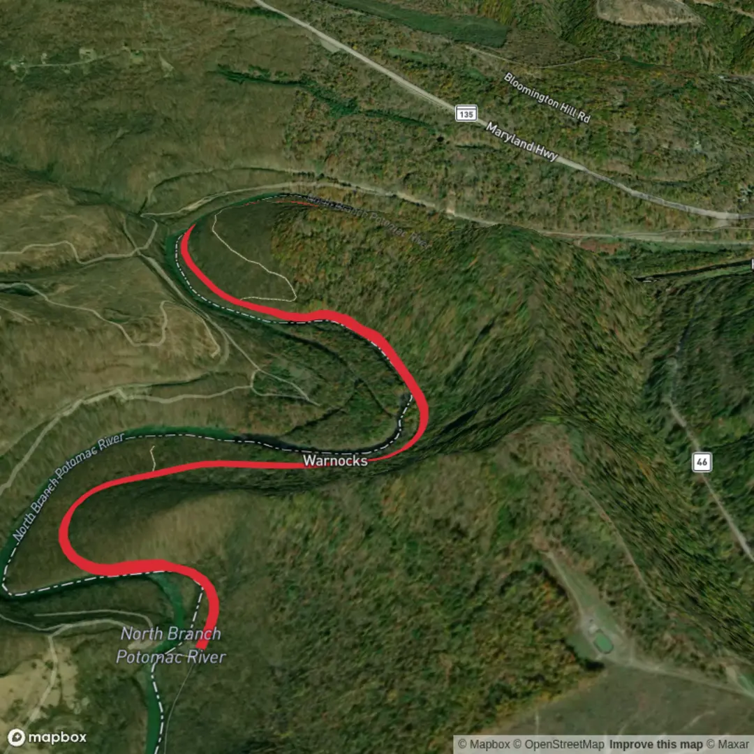
By car: The practical start is the Barnum Whitewater Area parking area at the end of Barnum Road (County Route 46/3), near Elk Garden, West Virginia, reached via WV-46 and then Barnum Road. This is the only commonly used access point for the rail-trail. (wvrailtrails.org)
A reliable navigation target to aim for is “Barnum Whitewater Area / Barnum Rail Trail parking” (near Barnum, WV 26711). From there, the trail continues along the river corridor.
By public transport: There isn’t a realistic bus/train option to the trailhead itself—this area is rural and the last miles are on local roads. The closest services tend to be in larger towns such as Keyser, WV or Cumberland, MD, but you should plan on a car shuttle or rideshare for the final approach (and rideshare coverage can be spotty).
What the tread is like (and why it feels so easy)
You’ll be walking on a packed ballast/crushed-stone rail bed—wide enough for two-way traffic, with a steady, railroad-style grade that keeps the effort low. (alltrails.com)
Because it’s a rail corridor, the route is straightforward: long, gentle tangents with the river frequently in view or just through the trees.
Plan your turnaround based on time and conditions rather than hunting for a dramatic “end” point—the far end can feel informal, with the finish essentially signaled by diminishing maintenance rather than a big sign. (alltrails.com)
Key segments and landmarks (approximate)
Distances below assume an out-and-back totaling ~12 km / 7.5 mi.
0.0–1.6 km (0.0–1.0 mi): shared access road zone
The first mile is the main thing to “look out for”: it may be open to limited vehicle traffic for river access. Stay alert on blind corners, keep kids/dogs close, and walk single-file when you hear an engine. (alltrails.com)1.6–6.0 km (1.0–3.7 mi): quieter rail-trail along the North Branch Potomac
Past the vehicle-access stretch, it settles into a calm riverside cruise. Expect frequent pull-offs and informal spots where anglers access the water. The river corridor here is also tied to dam releases from Jennings Randolph Lake, which can change the character of the water (and the soundscape) on release days. (precisionrafting.com)Turnaround around 6.0 km (3.7 mi)
Turn around wherever you hit your planned time/distance. If you continue until the corridor looks less maintained, that’s a natural “soft endpoint.” (alltrails.com)
Nature and wildlife to watch for
This trail runs through a river-and-forest mosaic typical of the central Appalachians: riparian woods near the water, mixed hardwoods on the slopes, and plenty of edge habitat. You’re in/near the Allegheny Wildlife Management Area landscape, so wildlife sightings are part of the appeal. (en.wikipedia.org)
Common, realistic expectations: - Birdlife: songbirds in the woods; belted kingfishers and great blue herons along calmer stretches; raptors riding thermals above the valley. - Mammals:

Surfaces
Gravel
Unknown
Comments and Reviews
User comments, reviews and discussions about the Barnum Rail Trail, West Virginia.
average rating out of 5
0 rating(s)