Download
Preview
Add to list
More
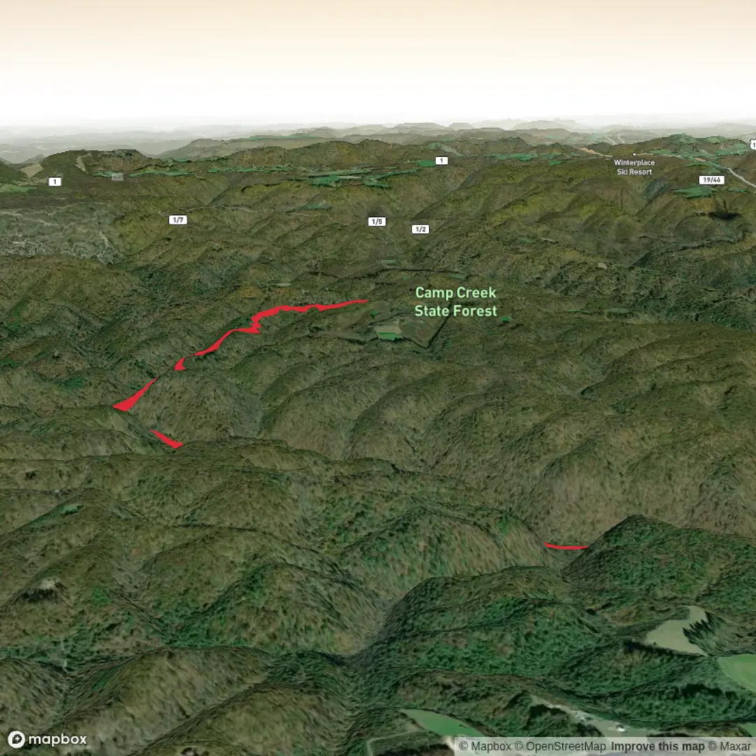
12.1 km
~2 hrs 45 min
199 m
Out and Back
“A gentle, easy ramble awaits—once the trailhead is pinned—linking landmarks, wildlife, and safe navigation.”
I’m missing the key location details needed to describe this hike accurately and to convert the start point to a nearby address/landmark.
Send one of the following and I’ll write the full hike description (12 km / ~7.5 mi, ~200 m / ~656 ft, Easy) with landmarks, nature/wildlife, hazards, history, and how to get there by car or public transport—using HiiKER for navigation references:
1) GPS coordinates for the trailhead (preferred): lat, lon
2) A HiiKER link to “McCoy Rd and Trail”
3) The nearest town/state (e.g., “near __, __”) plus any known trailhead name/parking area
Also tell me: - Loop, out-and-back, or point-to-point (if you know) - Any constraints: dogs allowed?, season, preferred direction (clockwise/counterclockwise)
Once I have the trailhead location, I’ll convert it to the nearest known address or significant landmark and build the route description with approximate distance/elevation checkpoints in km + miles and m + feet.

Comments and Reviews
User comments, reviews and discussions about the McCoy Rd and Trail, West Virginia.
average rating out of 5
0 rating(s)