Download
3D Flyover
Add to list
More
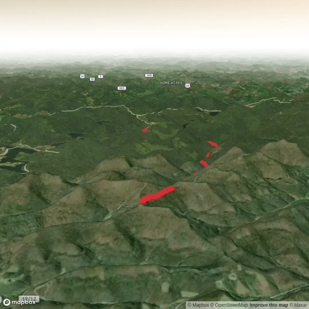
6.5 km
~1 hrs 26 min
85 m
Point-to-Point
“A trail’s story awaits—share a start point, and Wolf Fork’s details can bloom vividly.”
I’m missing a few key pieces of information to make this accurate (especially the start location). “Wolf Fork Road Trail” is a name used in more than one place, and without coordinates or at least a state/nearest town, I can’t reliably convert the lon/lat to a real-world address/landmark or give correct access directions, landmarks, and historical context.
Send any one of the following and I’ll write the full hike description exactly in the style you requested:
1) Start point coordinates (lon/lat) (and end point if different), or
2) Nearest town + state (or park/forest name), or
3) A HiiKER link to the route, or
4) A static map image of the route.
Also, two quick clarifiers (optional, but they’ll make the plan tighter): - Hike type: out-and-back, loop, or point-to-point? - Surface/access: is it a road walk, singletrack, or mixed?
Once you share the location, I’ll include: - Driving + public transport approach to the trailhead (with realistic “last mile” notes) - Approx distances in km + miles and elevation gain in m + ft (7 km ≈ 4.3 mi; 100 m ≈ 328 ft) - What to expect underfoot, typical conditions, key landmarks, wildlife, and any regional history - Navigation guidance using HiiKER only, plus what to watch for at junctions and along Wolf Fork Road

Comments and Reviews
User comments, reviews and discussions about the Wolf Fork Road Trail, West Virginia.
average rating out of 5
0 rating(s)